Foryd_station_site_geograph-3526389-by-Ben-Brooksbank.jpg
Size of this preview:
800 × 469 pixels
.
Other resolutions:
320 × 188 pixels
|
640 × 375 pixels
|
1,024 × 600 pixels
|
1,280 × 750 pixels
|
2,338 × 1,370 pixels
.
Summary
| Description |
English:
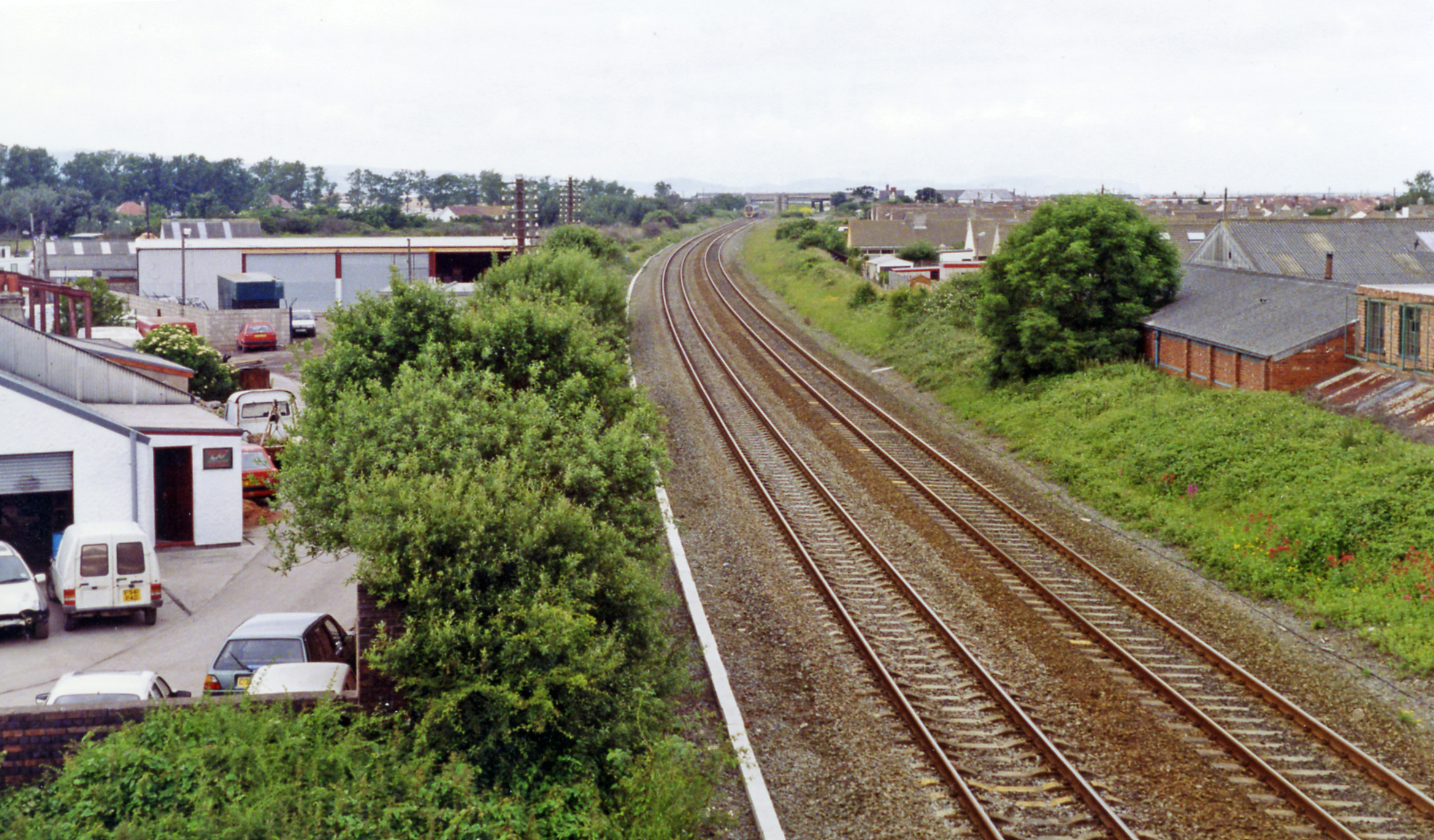
Site of Foryd station.
View westward, towards Llandudno, Bangor and Holyhead: ex-LNWR Chester - Holyhead main line. Nothing whatever is left of Foryd station, as it closed 5/1/31 - although it was reopened as Kinmel Bay Halt in the summer seasons of 1938 and 1939. |
| Date | |
| Source | From geograph.org.uk |
| Author | Ben Brooksbank |
|
Permission
( Reusing this file ) |
Creative Commons Attribution Share-alike license 2.0 |
|
Attribution
( required by the license ) |
Ben Brooksbank / Site of Foryd station / |
| Camera location |
|
View this and other nearby images on: OpenStreetMap |
|
|---|
Licensing

|
This image was taken from the
Geograph project
collection. See
this photograph's page
on the Geograph website for the photographer's contact details. The copyright on this image is owned by
Ben Brooksbank
and is licensed for reuse under the
Creative Commons
Attribution-ShareAlike 2.0 license.
|
This file is licensed under the
Creative Commons
Attribution-Share Alike 2.0 Generic
license.
Attribution:
Ben Brooksbank
-
You are free:
- to share – to copy, distribute and transmit the work
- to remix – to adapt the work
-
Under the following conditions:
- attribution – You must give appropriate credit, provide a link to the license, and indicate if changes were made. You may do so in any reasonable manner, but not in any way that suggests the licensor endorses you or your use.
- share alike – If you remix, transform, or build upon the material, you must distribute your contributions under the same or compatible license as the original.