Fort_Defiance-27527.jpg
Size of this preview:
800 × 600 pixels
.
Other resolutions:
320 × 240 pixels
|
640 × 480 pixels
|
1,024 × 768 pixels
|
1,280 × 960 pixels
|
2,000 × 1,500 pixels
.
Summary
|
|
This is an image of a place or building that is listed on the
National Register of Historic Places
in the
United States of America
. Its reference number is
70000444
.
|
| Description |
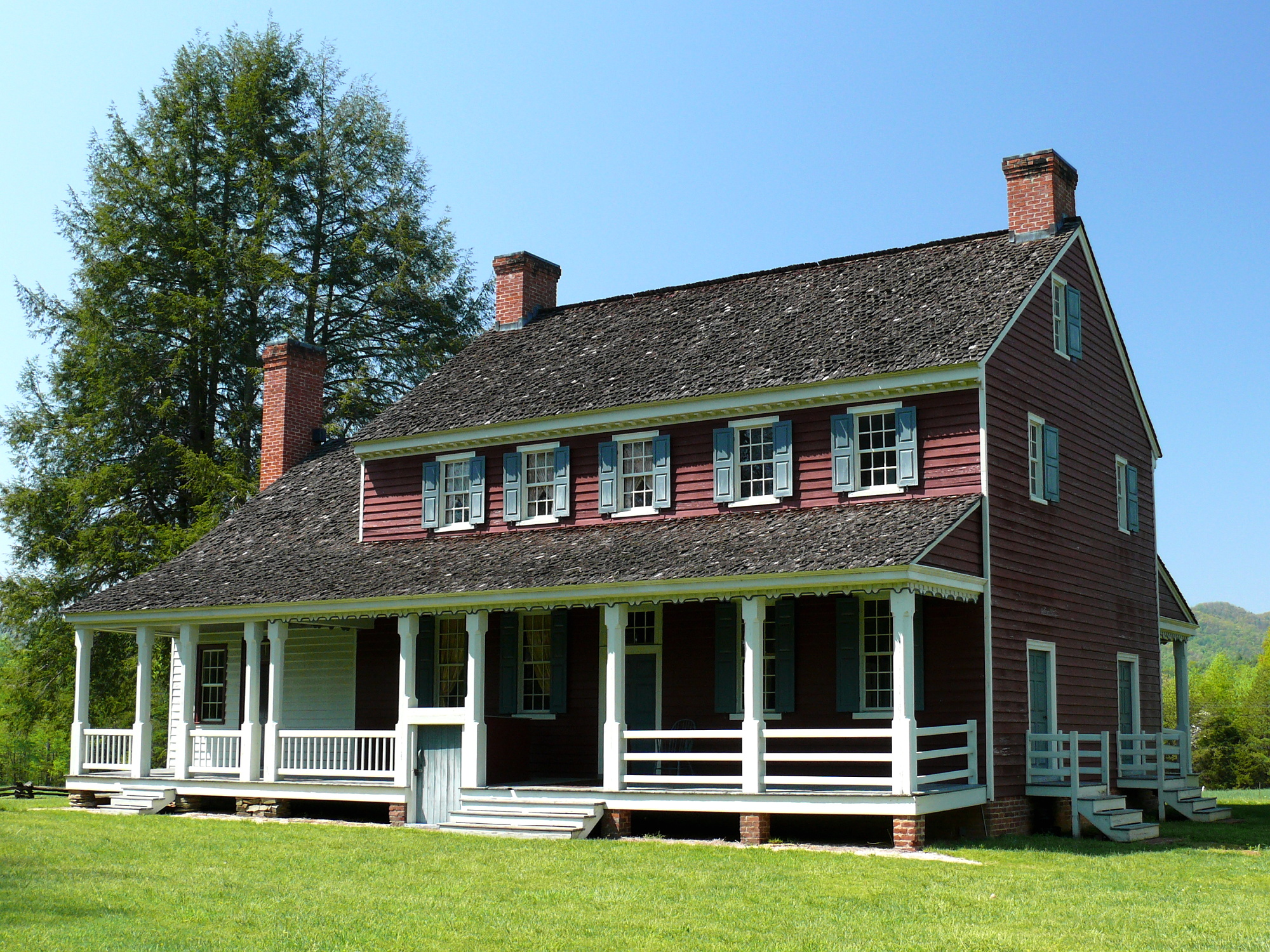
Continental Army General William Lenoir settled in the Yadkin River Valley of North Carolina after the American Revolutionary War. In 1792 he built a plantation house he called Fort Defiance .
|
| Date | 30 April 2008, 15:11 −04:00 |
| Source |
KenThomas.us
(personal website of photographer) |
| Author | Ken Thomas |
|
Permission
( Reusing this file ) |
This image is released to the
public domain
, and therefore no permission or credit is required.
Comments and/or feedback however, are always welcome. See my user page for contact info. |
| Camera location |
|
View this and other nearby images on: OpenStreetMap |
|
|---|
Licensing
|
|
I, the copyright holder of this work, release this work into the
public domain
. This applies worldwide.
In some countries this may not be legally possible; if so: I grant anyone the right to use this work for any purpose , without any conditions, unless such conditions are required by law. |