FernSep61971.gif
No higher resolution available.
Summary
| Description |
English:
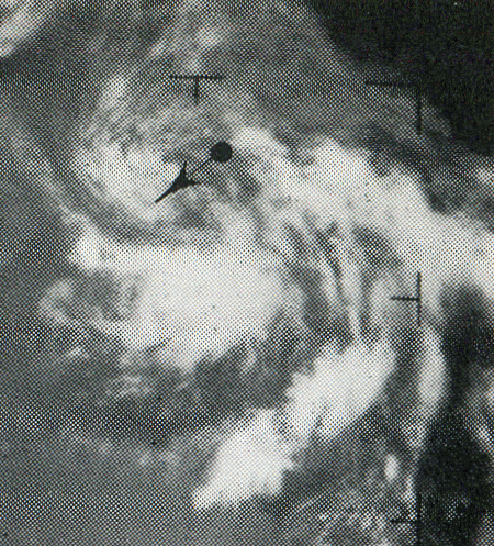
This weather satellite image of Tropical Depression Fern was taken on September 6, 1971
|
| Date | |
| Source | Mariners Weather Log, March 1973, pg. 84 |
| Author | NOAA |
| Camera location |
|
View this and other nearby images on: OpenStreetMap |
|
|---|
Licensing
|
|
This image is in the
public domain
because it contains materials that originally came from the U.S.
National Oceanic and Atmospheric Administration
, taken or made as part of an employee's official duties.
|
|