Far_east1.png
Size of this preview:
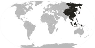
800 × 406 pixels
.
Other resolutions:
320 × 162 pixels
|
640 × 325 pixels
|
1,024 × 519 pixels
|
1,280 × 649 pixels
|
2,539 × 1,288 pixels
.
| Description |
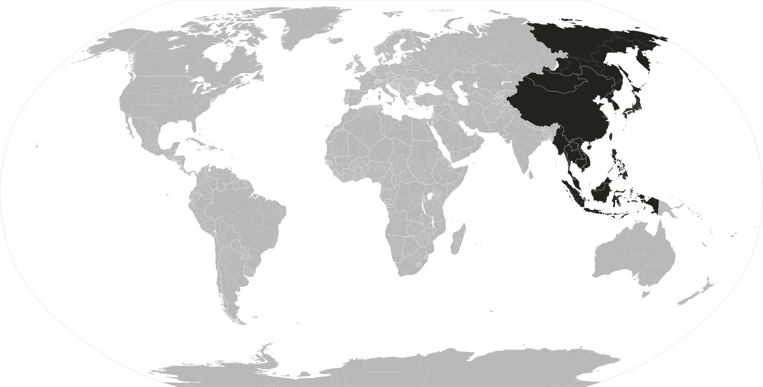
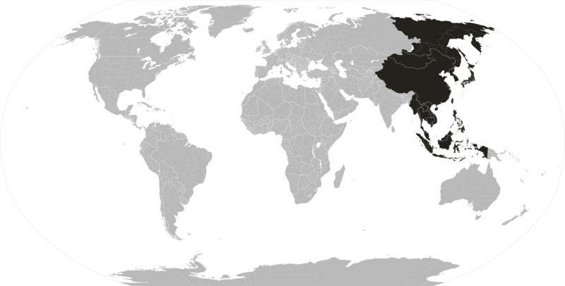
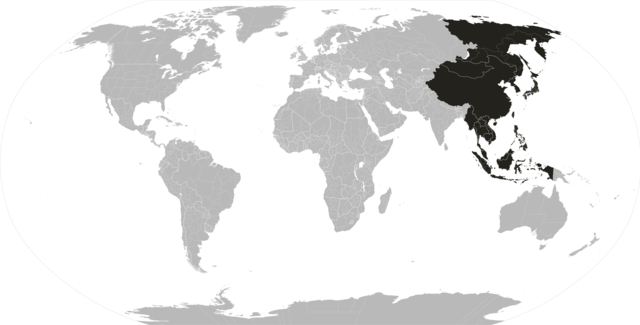
Modified Version of Image:Far_east.PNG
English:
Depiction of the Far East, with political subdivisions.
中文(简体):
远东地区,含政治区划。
中文(繁體):
遠東地區,含政治區劃。
日本語:
政治区分と極東の描写。
한국어:
정치 제트 연료의 파이프와 극동의 묘사.
Tiếng Việt:
Mô tả của Viễn Đông, với các đơn vị phân chia chính trị.
|
| Date | |
| Source | from Image:blankMap-World.png |
| Author | ASDFGHJ |
|
Permission
( Reusing this file ) |
This file is licensed under the
Creative Commons
Attribution-Share Alike 3.0 Unported
license.
|
| Other versions |
|

|
This
map of the world
image could be re-created
using
vector graphics
as an
SVG
file
. This has several advantages; see
Commons:Media for cleanup
for more information. If an SVG form of this image is available, please upload it and afterwards replace this template with
{{

vector version available

|

new image name

}}
.
It is recommended to name the SVG file “Far east1.svg”—then the template Vector version available (or Vva ) does not need the new image name parameter. |