Equitorial_Guinea_OnEarth_WMS.jpg

Size of this preview:
800 × 556 pixels
.
Other resolutions:
320 × 223 pixels
|
640 × 445 pixels
|
1,024 × 712 pixels
|
1,280 × 890 pixels
|
2,560 × 1,780 pixels
|
3,806 × 2,647 pixels
.
Summary
| Description |
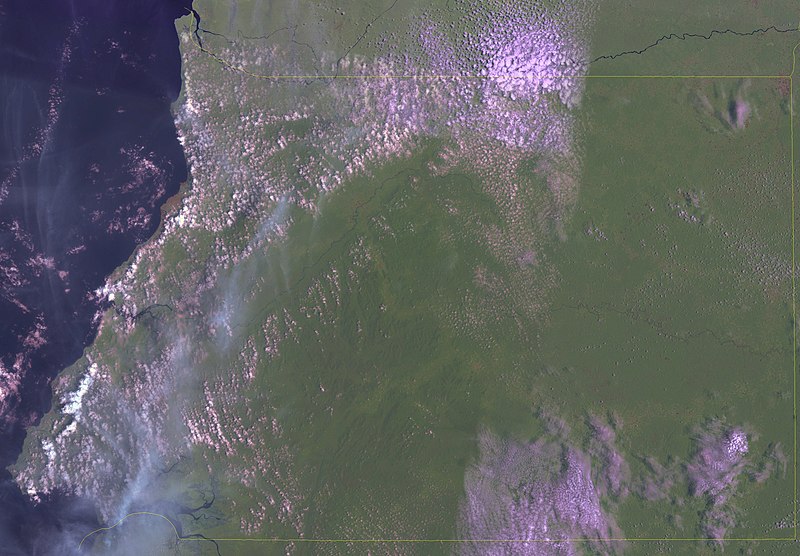
English:
Satellite image of continental Equitorial Guinea.
|
| Date | 27 April 2006 (upload date) |
| Source | Public domain satellite imagery taken by screenshot from NASA World Wind software. OnEarth WMS global mosaic pseudocolor layer. |
| Author | NASA |
Licensing
|
|
This image is in the
public domain
because it is a screenshot from
NASA
’s globe software
World Wind
using a public domain layer, such as Blue Marble, MODIS, Landsat, SRTM, USGS or GLOBE.
|

|