Eaton_canyon.jpg
Size of this preview:
800 × 600 pixels
.
Other resolutions:
320 × 240 pixels
|
640 × 480 pixels
|
1,024 × 768 pixels
.
| Description |
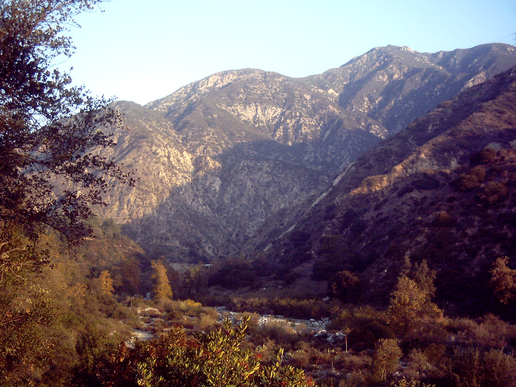
English:
w:Eaton Canyon
and the
San Gabriel Mountains
above Altadena, Southern California.
San Gabriels |
| Date | |
| Source | Flickr |
| Author | D Sneiders from Temple City, USA |
|
Permission
( Reusing this file ) |
This file is licensed under the
Creative Commons
Attribution-Share Alike 2.0 Generic
license.
|
| Camera location |
|
View this and other nearby images on: OpenStreetMap |
|
|---|
|
|
This image was originally posted to Flickr by toroichiban86 at https://www.flickr.com/photos/70748683@N00/85151036 . It was reviewed on 1 June 2007 by FlickreviewR and was confirmed to be licensed under the terms of the cc-by-sa-2.0. |
| Annotations | This image is annotated: View the annotations at Commons |