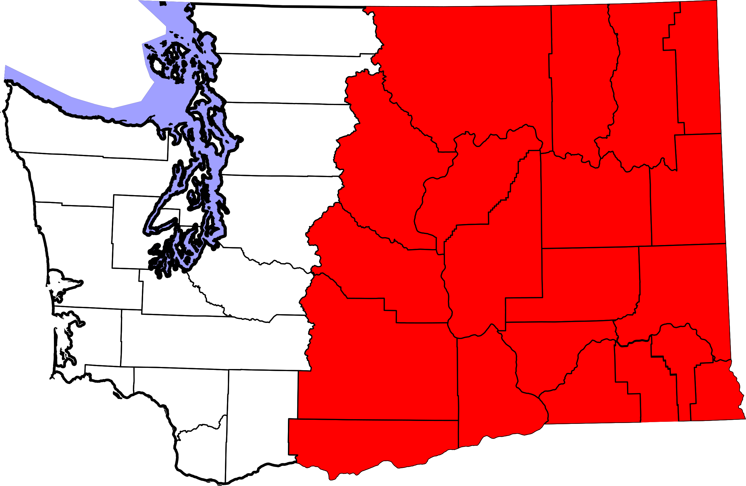
Eastern_Washington_map.svg

Size of this PNG preview of this SVG file:
800 × 521 pixels
.
Other resolutions:
320 × 208 pixels
|
640 × 416 pixels
|
1,024 × 666 pixels
|
1,280 × 833 pixels
|
2,560 × 1,666 pixels
|
1,781 × 1,159 pixels
.
| Description |
This
W3C-unspecified
vector image
was created with
Inkscape
.
|
||
| Date | (UTC) | ||
| Source | |||
| Author |
|
||
|
Permission
( Reusing this file ) |
|
||
| Other versions | Derivative works of this file: Flag map of Washington.svg |
Original upload log
This image is a derivative work of the following images:
-
File:Map_of_Washington_counties,_blank.svg
licensed with PD-self
- 2006-02-14T19:06:01Z Dbenbenn 1781x1159 (219804 Bytes) by me, PD. This is a simple modification of [[:Image:Map of Washington highlighting Thurston County.svg]]
Uploaded with derivativeFX