Downtown_Providence,_Rhode_Island.jpg

Size of this preview:
800 × 383 pixels
.
Other resolutions:
320 × 153 pixels
|
640 × 306 pixels
|
1,024 × 490 pixels
|
1,280 × 612 pixels
|
3,063 × 1,465 pixels
.
Summary
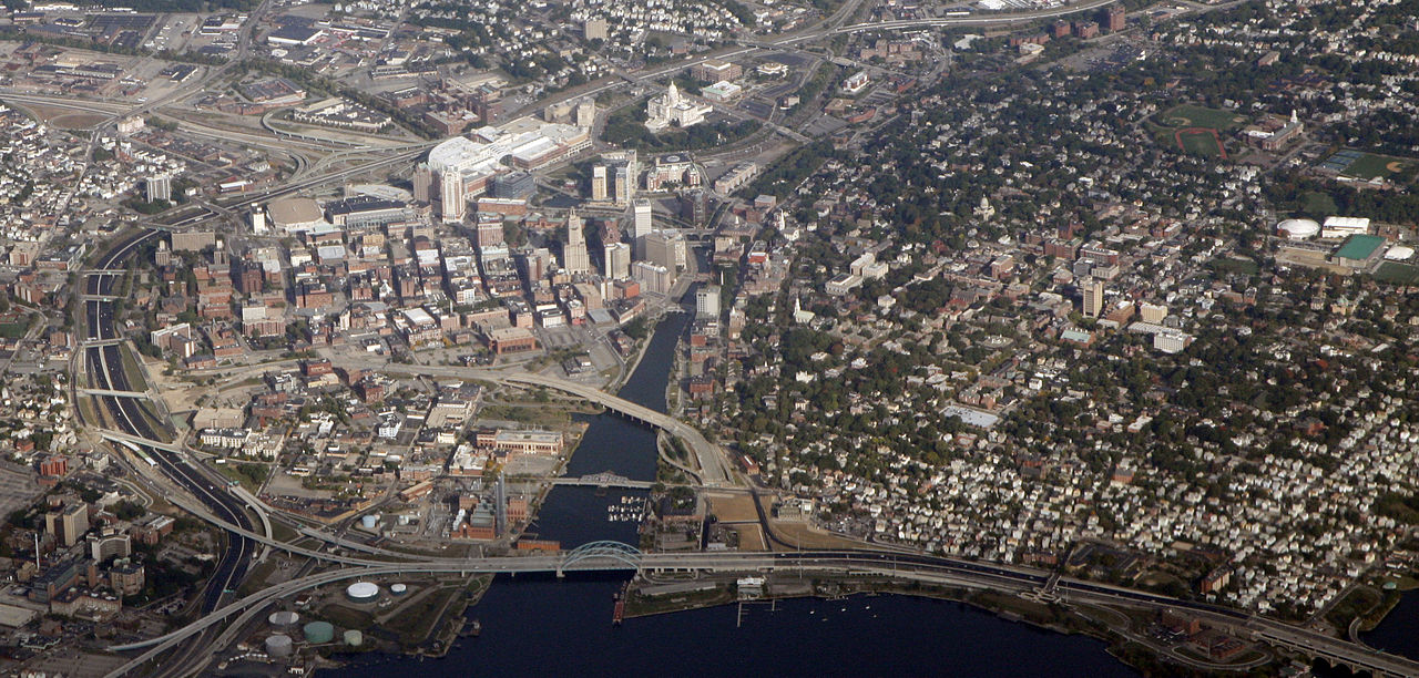
| Description | Downtown Providence, Rhode Island. |
| Date | |
| Source |
|
| Author | Doc Searls from Santa Barbara, USA |
| Camera location |
|
View this and other nearby images on: OpenStreetMap |
|
|---|
Licensing
This file is licensed under the
Creative Commons
Attribution 2.0 Generic
license.
-
You are free:
- to share – to copy, distribute and transmit the work
- to remix – to adapt the work
-
Under the following conditions:
- attribution – You must give appropriate credit, provide a link to the license, and indicate if changes were made. You may do so in any reasonable manner, but not in any way that suggests the licensor endorses you or your use.
|
|
This image, originally posted to Flickr , was reviewed on October 13, 2010 by the administrator or reviewer File Upload Bot (Magnus Manske) , who confirmed that it was available on Flickr under the stated license on that date. |