DinahJune121974.png

Size of this preview:
750 × 599 pixels
.
Other resolutions:
300 × 240 pixels
|
601 × 480 pixels
|
961 × 768 pixels
|
1,280 × 1,023 pixels
|
1,284 × 1,026 pixels
.
Summary
| Description |
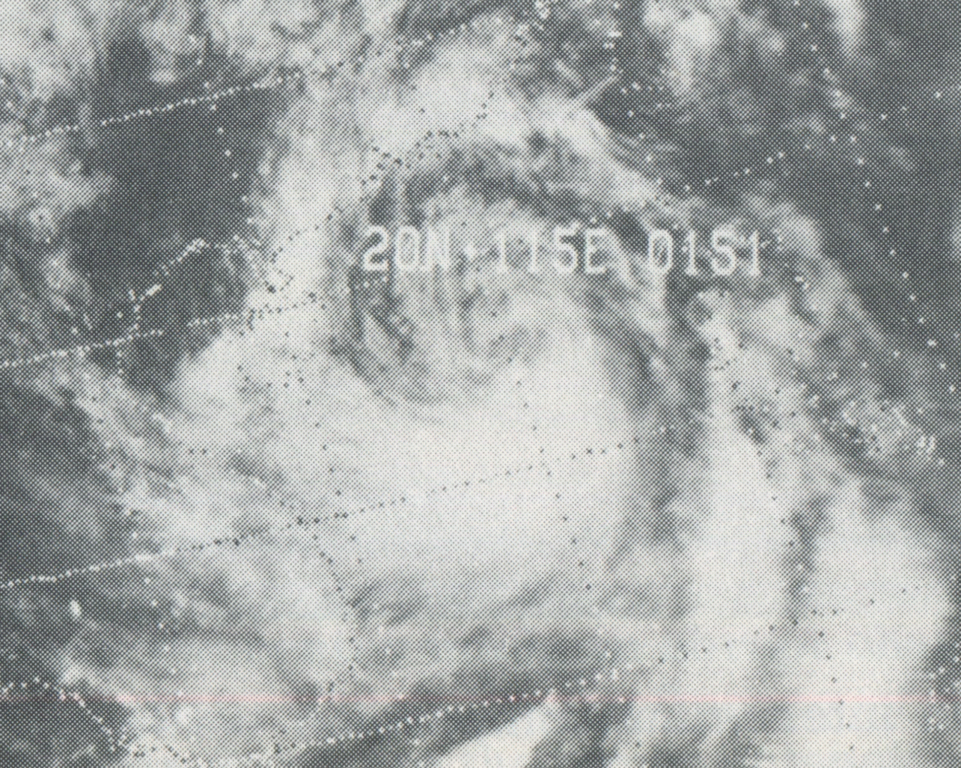
English:
This weather satellite image of Typhoon Dinah was taken on June 12, 1974
|
| Date | |
| Source | Mariners Weather Log, September 1974, pg. 352 |
| Author | NOAA |
| Camera location |
|
View this and other nearby images on: OpenStreetMap |
|
|---|
Licensing
|
|
This image is in the
public domain
because it contains materials that originally came from the U.S.
National Oceanic and Atmospheric Administration
, taken or made as part of an employee's official duties.
|
|
Original upload log
| Date/Time | Dimensions | User | Comment |
|---|---|---|---|
| 18 April 2013, 07:29:05 | 1284 × 1026 (1189385 bytes) | Thegreatdr ( talk · contribs ) | User created page with UploadWizard |