Dilofozaur_PGI.jpg

Size of this preview:
800 × 600 pixels
.
Other resolutions:
320 × 240 pixels
|
640 × 480 pixels
|
1,024 × 768 pixels
|
1,200 × 900 pixels
.

Summary
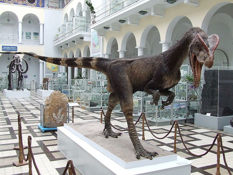
| Description | Dilofozaur, Dilophosaurus wetherilli, Welles 1970. Model in Muzeum Geologiczne Państwowego Instytutu Geologicznego, Warszawa |
| Date | 2 September 2007, 12:22:49 (according to Exif data) |
| Source | Own work |
| Author | Hiuppo |
| Camera location |
|
View this and other nearby images on: OpenStreetMap |
|
|---|
Licensing
- Object
|
|
The copyright act
from February 4, 1994 in article 33 point 1 allows the propagation of works that are permanently exhibited on publicly accessible roads, streets, squares or gardens provided that the propagation is not for the same use. The name of the creator and source should be provided if it is possible by article 34. This use is royalty free, provided that it does not harm the legitimate interests of the creator by article 34.
See
Copyright rights in Poland § Freedom of Panorama
for more information.
|
- Photograph
I, the copyright holder of this work, hereby publish it under the following licenses:

|
Permission is granted to copy, distribute and/or modify this document under the terms of the GNU Free Documentation License , Version 1.2 or any later version published by the Free Software Foundation ; with no Invariant Sections, no Front-Cover Texts, and no Back-Cover Texts. A copy of the license is included in the section entitled GNU Free Documentation License . |
This file is licensed under the
Creative Commons
Attribution 3.0 Unported
license.
-
You are free:
- to share – to copy, distribute and transmit the work
- to remix – to adapt the work
-
Under the following conditions:
- attribution – You must give appropriate credit, provide a link to the license, and indicate if changes were made. You may do so in any reasonable manner, but not in any way that suggests the licensor endorses you or your use.
You may select the license of your choice.