Dardanelles_landsat.jpg


Summary

Description
English: 
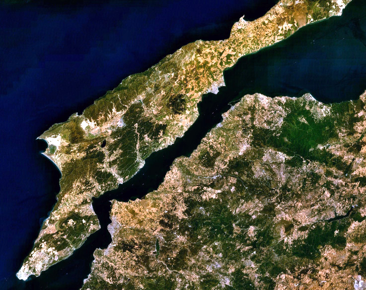
Landsat 7 image of the Dardanelles and Gallipoli Peninsula, Turkey.
Date
Source Captured and cropped from NASA World Wind.
Author NASA
Permission
( Reusing this file )
Public domain
This image is in the public domain because it is a screenshot from NASA ’s globe software World Wind using a public domain layer, such as Blue Marble, MODIS, Landsat, SRTM, USGS or GLOBE.

العربيَّة | English | فارسی | français | עברית | македонски | മലയാളം | Nederlands | русский | 中文(中国大陆)‎ | +/−

Captions

Add a one-line explanation of what this file represents

Items portrayed in this file

depicts

17 September 2006