Cyclone_Agni.jpg

Size of this preview:
711 × 600 pixels
.
Other resolutions:
285 × 240 pixels
|
569 × 480 pixels
.
Summary
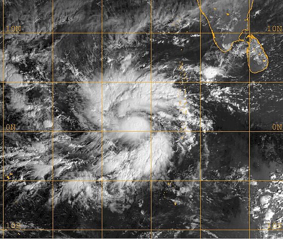
| Description | This MET-5 visible satellite image taken at 0400 UTC shows Agni as a developing tropical storm just north of the equator. | ||||||
| Date | |||||||
| Source | http://www.nrlmry.navy.mil/tc_pages/tc_home.html | ||||||
| Author | Naval Research Laboratory | ||||||
|
Permission
( Reusing this file ) |
|
||||||
Licensing
|
|
This file is a work of a sailor or employee of the
U.S. Navy
, taken or made as part of that person's official duties. As a
work
of the
U.S. federal government
, it is in the
public domain
in the United States.
|

|
| This file has been identified as being free of known restrictions under copyright law, including all related and neighboring rights. | ||