Cuvette_districts.png

Size of this preview:
776 × 600 pixels
.
Other resolutions:
311 × 240 pixels
|
621 × 480 pixels
|
994 × 768 pixels
|
1,056 × 816 pixels
.
| Description |
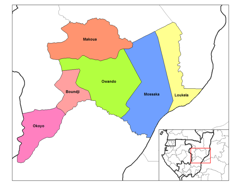
English:
Map of the districts of Cuvette region in the Republic of the Congo. Created by
Rarelibra
13:28, 12 September 2006 (UTC) for public domain use, using MapInfo Professional v8.5 and various mapping resources.
|
| Date | 12 September 2006 (original upload date) |
| Source | Transferred from en.wikipedia to Commons by Gikü . |
| Author | Rarelibra at English Wikipedia |
Licensing
|
|
This work has been released into the
public domain
by its author,
Rarelibra
at
English Wikipedia
. This applies worldwide.
In some countries this may not be legally possible; if so: Rarelibra grants anyone the right to use this work for any purpose , without any conditions, unless such conditions are required by law. |
Original upload log
The original description page was
here
. All following user names refer to en.wikipedia.
- 2006-09-12 13:35 Rarelibra 1056×816× (28455 bytes) Map of the districts of Cuvette region in the Republic of the Congo. Created by ~~~~ for public domain use, using MapInfo Professional v8.5 and various mapping resources.
- 2006-09-12 13:28 Rarelibra 1056×816× (32029 bytes) Map of the districts of Cuvette region in the Republic of the Congo. Created by ~~~~ for public domain use, using MapInfo Professional v8.5 and various mapping resources.