Cuming_County_Courthouse_(Nebraska)_from_W_1.JPG

Size of this preview:
800 × 331 pixels
.
Other resolutions:
320 × 132 pixels
|
640 × 265 pixels
|
1,024 × 423 pixels
|
2,305 × 953 pixels
.
Summary
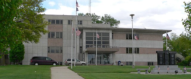
| Description | Cuming County Courthouse in West Point, Nebraska ; seen from the west. The building was constructed in 1954. |
| Date | |
| Source | Own work |
| Author | Ammodramus |
| Object location |
|
View this and other nearby images on: OpenStreetMap |
|
|---|
_from_W_1.JPG¶ms=041.839250_N_-096.709972_E_globe:Earth_class:object_type:object__&language=en)
Licensing
|
|
I, the copyright holder of this work, release this work into the
public domain
. This applies worldwide.
In some countries this may not be legally possible; if so: I grant anyone the right to use this work for any purpose , without any conditions, unless such conditions are required by law. |