Cropped_aerial_view_of_the_Forestville_Millpond_and_the_start_of_the_lower_Ahnapee_River_in_Door_County,_Wisconsin_2020.png
Size of this preview:
433 × 599 pixels
.
Other resolutions:
173 × 240 pixels
|
347 × 480 pixels
|
555 × 768 pixels
|
740 × 1,024 pixels
|
1,480 × 2,048 pixels
|
2,672 × 3,697 pixels
.
| Description |
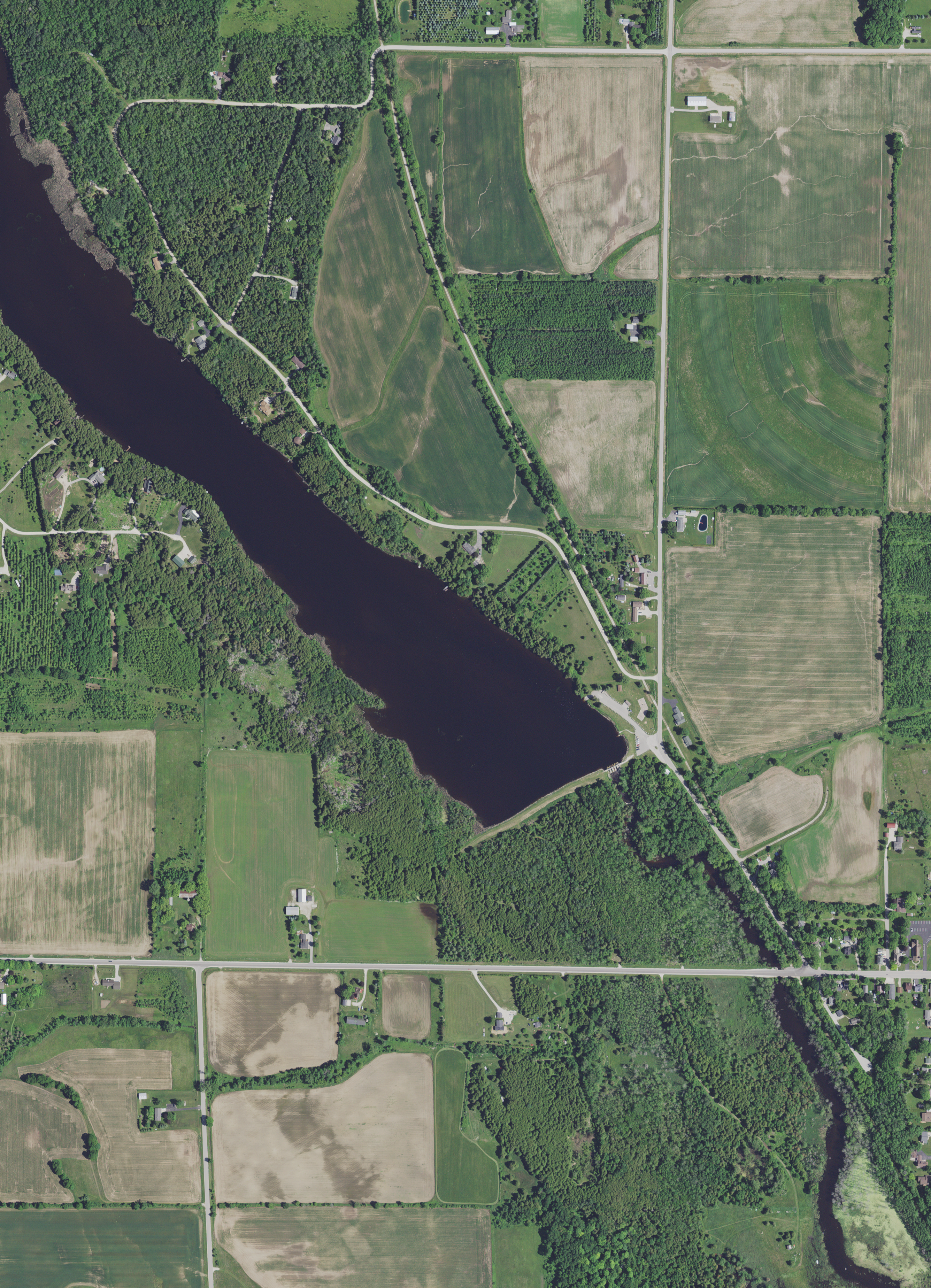
English:
Partial view of the
Ahnapee River
, including the Forestville Millpond in
Door County
, Wisconsin, taken June 27, 2020.
Forestville Dam County Park
and the
Ahnapee State Trail
are in the photograph.
|
|||
| Date | ||||
| Source | converted to .png by Epiphyllumlover from the original uncropped .tif available as item M_4408721_NW_16_060_20200627 on EarthExplorer | |||
| Author | Aerial Photography Field Office (APFO) for NAIP, USGS; in contract with the Surdex Corporation | |||
|
Permission
( Reusing this file ) |
|
|||
| Other versions |
