Connecticut_River_Map.png
Size of this preview:
448 × 600 pixels
.
Other resolutions:
179 × 240 pixels
|
578 × 774 pixels
.
Summary
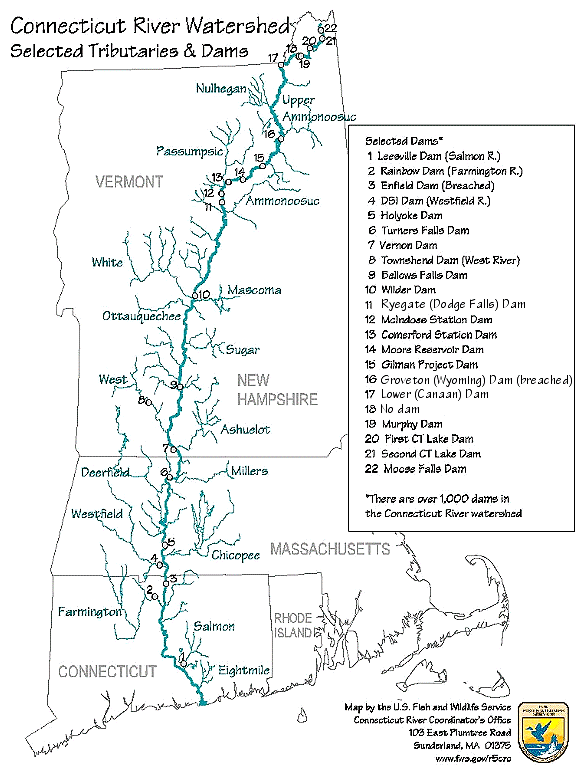
| Description | Map of the Connecticut River, New England, USA. This map was prepared by the United States Fish and Wildlife Service, and as a product of the United States Government is in the public domain and not subject to copyright restrictions. | |||
| Source | Originally from en.wikipedia ; description page is/was here . Original uploader was Daderot at English Wikipedia | |||
| Author | USGov | |||
|
Permission
( Reusing this file ) |
|


|
This
transport map
image could be re-created
using
vector graphics
as an
SVG
file
. This has several advantages; see
Commons:Media for cleanup
for more information. If an SVG form of this image is available, please upload it and afterwards replace this template with
{{

vector version available

|

new image name

}}
.
It is recommended to name the SVG file “Connecticut River Map.svg”—then the template Vector version available (or Vva ) does not need the new image name parameter. |
Original upload log
| Date/Time | Dimensions | User | Comment |
|---|---|---|---|
| 6 January 2008, 16:02:00 | 580 × 778 (61343 bytes) | Gridge ( talk · contribs ) | {{Information |Description=Map of the Connecticut River, New England, USA. This map was prepared by the United States Fish and Wildlife Service, and as a product of the United States Government is in the public domain and not subject to copyright restrict |