Coalhouse_Fort_in_Thames_Estuary_map.png
Size of this preview:
800 × 305 pixels
.
Other resolutions:
320 × 122 pixels
|
1,144 × 436 pixels
.
Summary
| Description |
English:
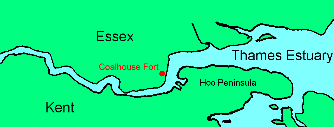
Map showing location of Coalhouse Fort in the Thames Estuary
|
| Date | |
| Source | File:Lower Thames.png |
| Author | Prioryman , based on map by Slimberly at English Wikipedia |
Licensing
|
|
This work has been released into the
public domain
by its author,
Slimberly
at
English Wikipedia
. This applies worldwide.
In some countries this may not be legally possible; if so: Slimberly grants anyone the right to use this work for any purpose , without any conditions, unless such conditions are required by law. |