Clachan_Bridge.jpg
No higher resolution available.
Summary
| Description |
English:
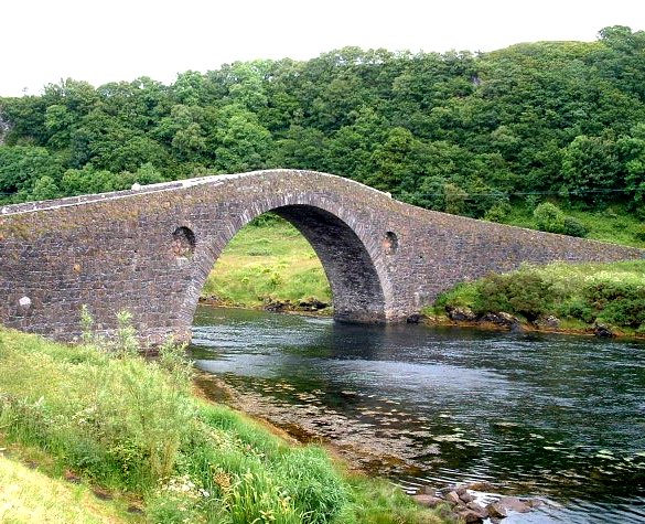
The Clachan Bridge. Linking Argyll on the Scottish mainland with Seil Island.
|
|
This is a photo of
listed building
number
11834
.
|
( Reusing this file ) Creative Commons Attribution Share-alike license 2.0 Other versions This file was derived from: Clachan Bridge - geograph.org.uk - 5681.jpg :

Attribution
( required by the license ) John Phillips / Clachan Bridge / John Phillips / Clachan Bridge
|
|
This is a
retouched picture
, which means that it has been digitally altered from its original version. Modifications:
cropped, colours
. Modifications made by
Cactus.man
. The original can be found here:
https://www.geograph.org.uk/photo/5681
.
|
| Camera location |
|
View this and other nearby images on: OpenStreetMap |
|
|---|
Licensing
This file is licensed under the
Creative Commons
Attribution-Share Alike 2.0 Generic
license.
Attribution:
John Phillips
-
You are free:
- to share – to copy, distribute and transmit the work
- to remix – to adapt the work
-
Under the following conditions:
- attribution – You must give appropriate credit, provide a link to the license, and indicate if changes were made. You may do so in any reasonable manner, but not in any way that suggests the licensor endorses you or your use.
- share alike – If you remix, transform, or build upon the material, you must distribute your contributions under the same or compatible license as the original.