City_Plans_Takao.jpg

Size of this preview:
567 × 599 pixels
.
Other resolutions:
227 × 240 pixels
|
454 × 480 pixels
|
727 × 768 pixels
|
969 × 1,024 pixels
|
1,938 × 2,048 pixels
|
4,476 × 4,730 pixels
.
Summary
| Description |
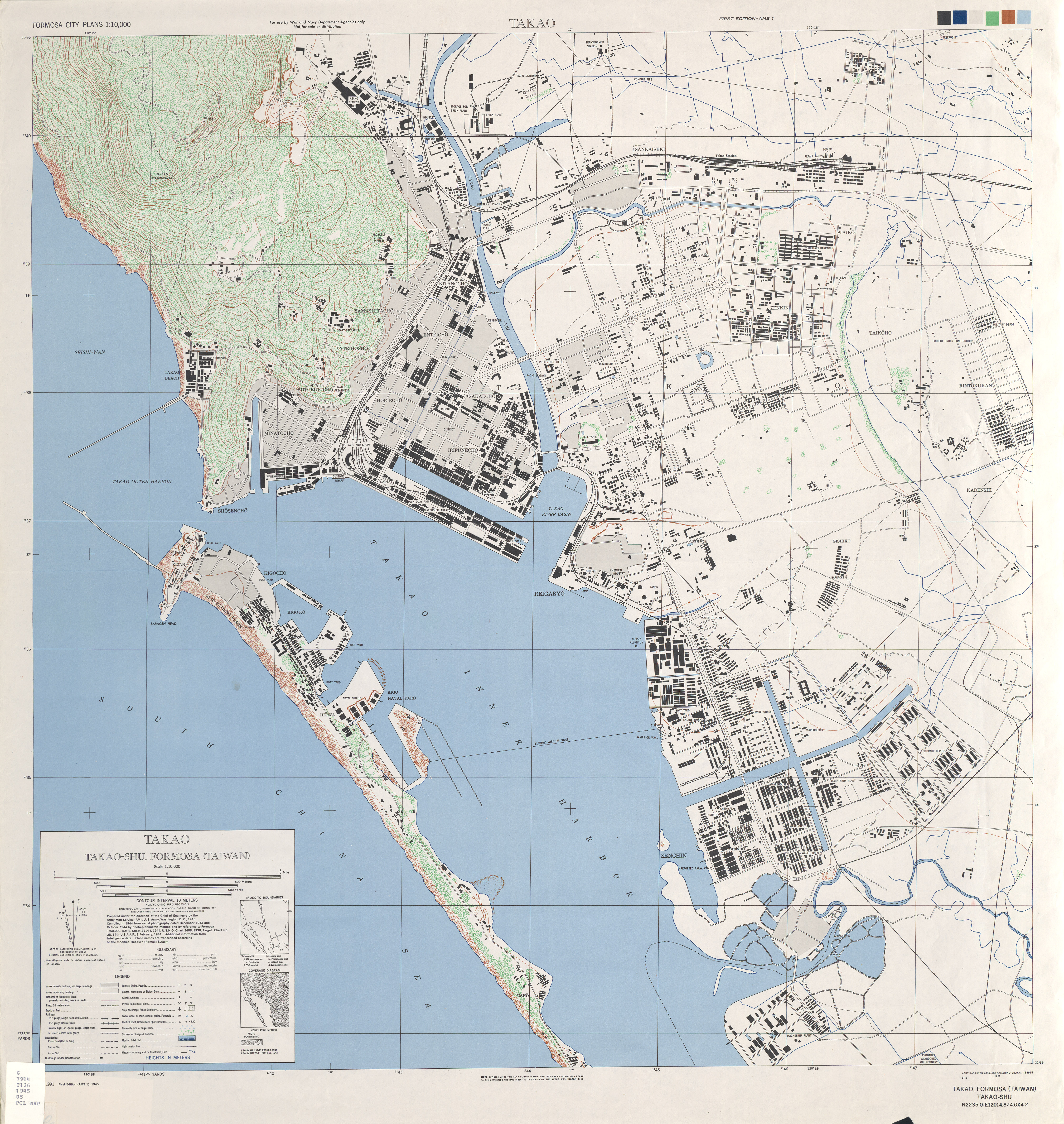
English:
The map of Takao
中文(臺灣):
高雄港圖
|
| Date | September 1945 |
| Source | www.lib.utexas.edu |
| Author | Army Map Service , U.S. Army |
| Other versions |
Derivative works of this file: |
Licensing
|
|
This file is a work of a
U.S. Army
soldier or employee, taken or made as part of that person's official duties. As a
work
of the
U.S. federal government
, it is in the
public domain
in the United States.
|

|