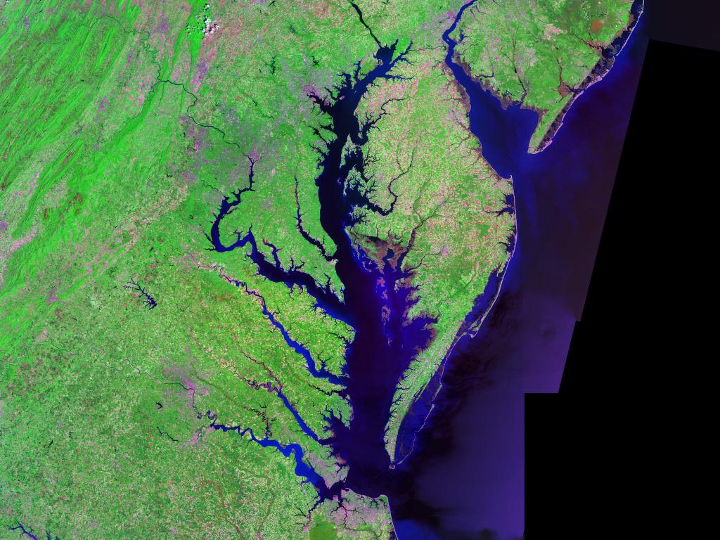
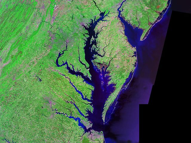
Chesapeakelandsat.jpeg
Size of this preview:
800 × 600 pixels
.
Other resolutions:
320 × 240 pixels
|
640 × 480 pixels
|
1,024 × 768 pixels
.
Summary
| Description |
English:
Satellite (
Landsat
) picture of
Chesapeake Bay
(center) and
Delaware Bay
(upper right) - and Atlantic coast of the central-eastern
United States
.
|
| Date | circa 2000 |
| Source | Landsat photo, from circa 2000. Generated via [1] from NASA data |
| Author | Landsat/NASA |
| Other versions |

Licensing
|
|
This file is in the public domain in the United States because it was solely created by NASA . NASA copyright policy states that "NASA material is not protected by copyright unless noted ". (See Template:PD-USGov , NASA copyright policy page or JPL Image Use Policy .) |
|

|
Warnings:
|