Chantry_Island_Landsat.png
No higher resolution available.
Summary
| Description |
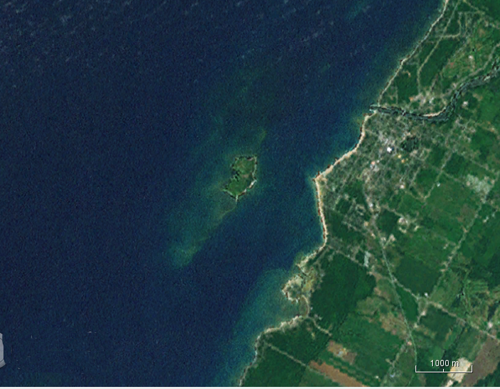
English:
NASA Landsat image of Chantry Island, Ontario. Cropped by the uploader.
|
| Date | Unknown date |
| Source | NASA WorldWind java version. |
| Author | Landsat. |
Licensing
|
|
This image is in the
public domain
because it is a screenshot from
NASA
’s globe software
World Wind
using a public domain layer, such as Blue Marble, MODIS, Landsat, SRTM, USGS or GLOBE.
|

|