Census_Bureau_map_of_Wallington,_New_Jersey.png
No higher resolution available.
Summary
| Description |
English:
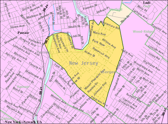
U.S. Census Bureau map of
Wallington
|
| Date | |
| Source | http://factfinder.census.gov |
| Author | United States Census Bureau |
Licensing
|
|
This image or file is a work of a
United States Census Bureau
employee, taken or made as part of that person's official duties. As a
work
of the
U.S. federal government
, the image is in the
public domain
.
|

|
Original upload log
Transferred from en.wikipedia to Commons by Quadell using CommonsHelper .
The original description page was
here
. All following user names refer to en.wikipedia.
- 2008-02-19 17:19 Alansohn 575×425× (71818 bytes) {{Information |Description=Census Bureau map of Wallington, New Jersey |Source=[[United States Census Bureau]] |Date= |Location=[[Wallington, New Jersey]] |Author=[[United States Census Bureau]] |Permission= |other_versions= }}
Original upload log
| Date/Time | Dimensions | User | Comment |
|---|---|---|---|
| 16 July 2013, 11:42:31 | 575 × 425 (71818 bytes) | File Upload Bot (Magnus Manske) ( talk · contribs ) | Transfered from en.wikipedia by [[User:Quadell]] using CommonsHelper |