Cargados_carajos_76.jpg
Size of this preview:
206 × 598 pixels
.
Other resolutions:
82 × 240 pixels
|
439 × 1,275 pixels
.
Summary
| Description |
Deutsch:
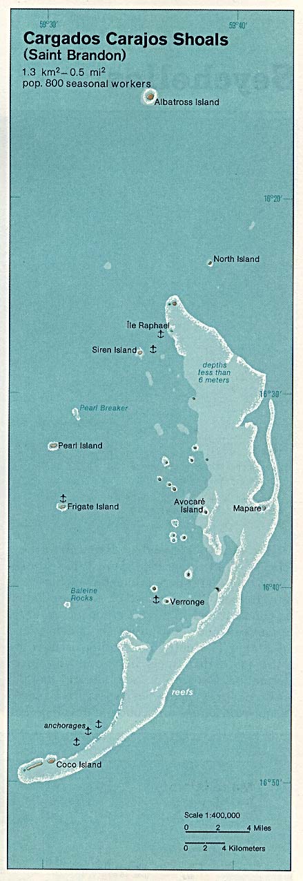
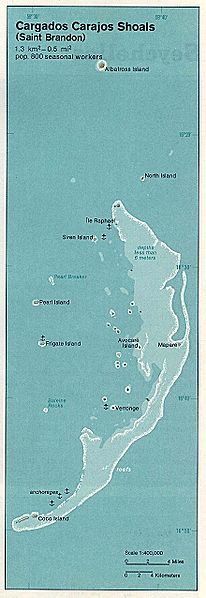
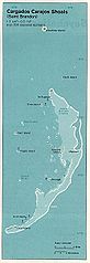
Karte der Cargados-Carajos-Inseln im Indischen Ozean
English:
Map of Cargados Carajos Shoals in the Indian Ocean
Español:
Mapa de Banco de Cargados Carajos en el Océano Índico
|
| Date | |
| Source | The Indian Ocean Atlas , CIA, 1976. Retrieved from: University of Texas Libraries, Perry-Castañeda Library Map Collection: Mauritius Maps |
| Author | CIA |
Licensing
|
|
This image is a work of a
Central Intelligence Agency
employee, taken or made as part of that person's official duties. As a Work of the United States Government, this image or media is in the
public domain
in the United States.
|

|