Canada_Southern_Quebec_location_map.png
No higher resolution available.
Summary
| Description |
English:
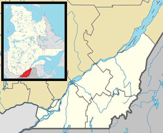
Map of southern Québec Province within Canada, for use in location map templates.
Français :
Carte du sud du
Québec
.
|
| Date | (UTC) |
| Source |
This file was derived from:
Canada Quebec location map 2.svg
:

|
| Author |
|

|
This
locator map
image could be re-created
using
vector graphics
as an
SVG
file
. This has several advantages; see
Commons:Media for cleanup
for more information. If an SVG form of this image is available, please upload it and afterwards replace this template with
{{

vector version available

|

new image name

}}
.
It is recommended to name the SVG file “Canada Southern Quebec location map.svg”—then the template Vector version available (or Vva ) does not need the new image name parameter. |
Licensing
I, the copyright holder of this work, hereby publish it under the following license:
|
|
I, the copyright holder of this work, release this work into the
public domain
. This applies worldwide.
In some countries this may not be legally possible; if so: I grant anyone the right to use this work for any purpose , without any conditions, unless such conditions are required by law. |
Original upload log
This image is a derivative work of the following images:
-
File:Canada_Quebec_location_map_2.svg
licensed with PD-self
- 2009-09-24T18:30:53Z Hanhil 2316x2822 (2687510 Bytes) {{Information |Description={{en|1=Québec Province within Canada.}} {{es|1=Provincia de Quebec en Canadá.}} |Source=Based on [[:Image:Canada_Quebec_location_map.svg]] |Author=~~~~ based on [[User:EOZyo|EOZyo]] |Date=2009-09-
Uploaded with derivativeFX