CalifSR49AmerMF.JPG

Size of this preview:
800 × 600 pixels
.
Other resolutions:
320 × 240 pixels
|
640 × 480 pixels
|
1,024 × 768 pixels
|
1,280 × 960 pixels
|
2,560 × 1,920 pixels
|
3,648 × 2,736 pixels
.
Summary
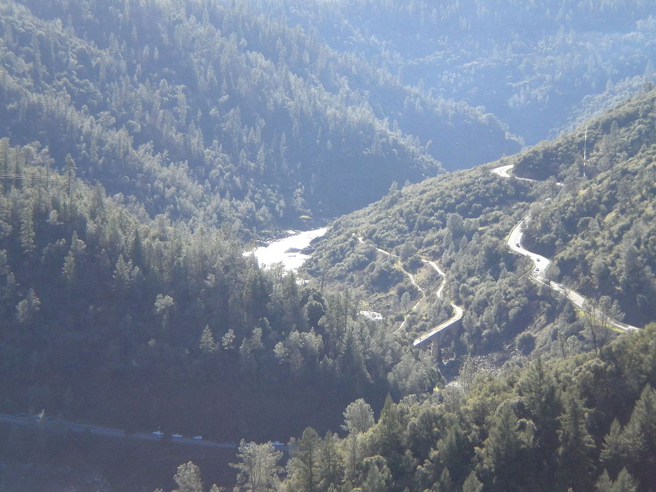
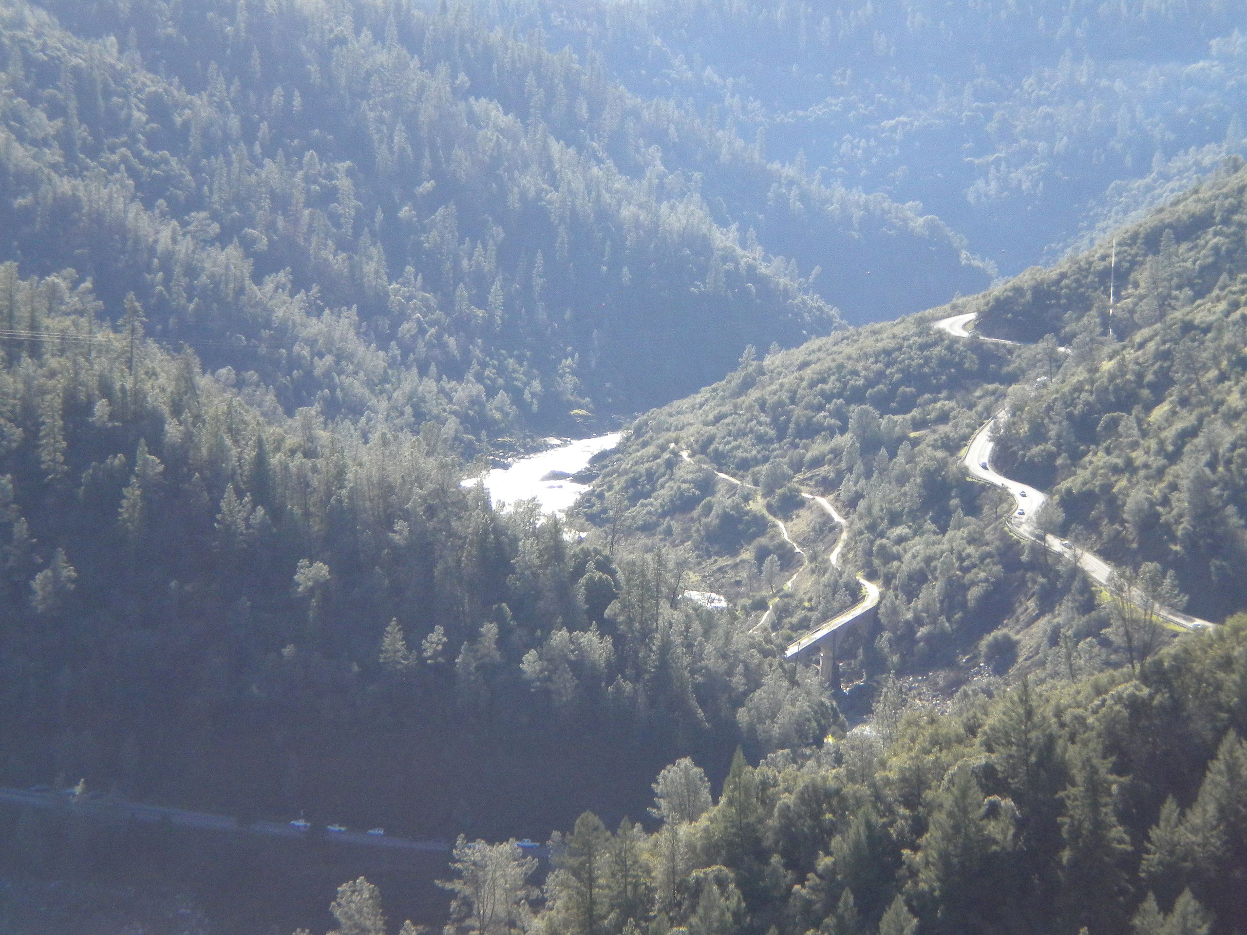
| Description | California State Routes 49 and 193 , crossing the North/Middle Fork of the American River , looking south-southwest from the eastern terminus of the Foresthill Bridge . Auburn is forward and to the right, Cool a few miles to the left. The actual highway bridges and the confluence of the North and Middle Forks are unseen behind the ridge in front (the bridge near the middle of the picture is the Mountain Quarries Bridge, a former railroad bridge and a historical landmark). |
| Date | 22 August 2009 (original upload date) |
| Source | Own work by the original uploader |
| Author | T71024 ( talk · contribs ) |
| Camera location |
|
View this and other nearby images on: OpenStreetMap |
|
|---|
Licensing
|
|
I, the copyright holder of this work, release this work into the
public domain
. This applies worldwide.
In some countries this may not be legally possible; if so: I grant anyone the right to use this work for any purpose , without any conditions, unless such conditions are required by law. |