Cairns_Army_Airfield.jpg
Size of this preview:
600 × 600 pixels
.
Other resolutions:
240 × 240 pixels
|
480 × 480 pixels
|
768 × 768 pixels
|
1,024 × 1,024 pixels
|
2,048 × 2,048 pixels
|
2,668 × 2,668 pixels
.
Summary
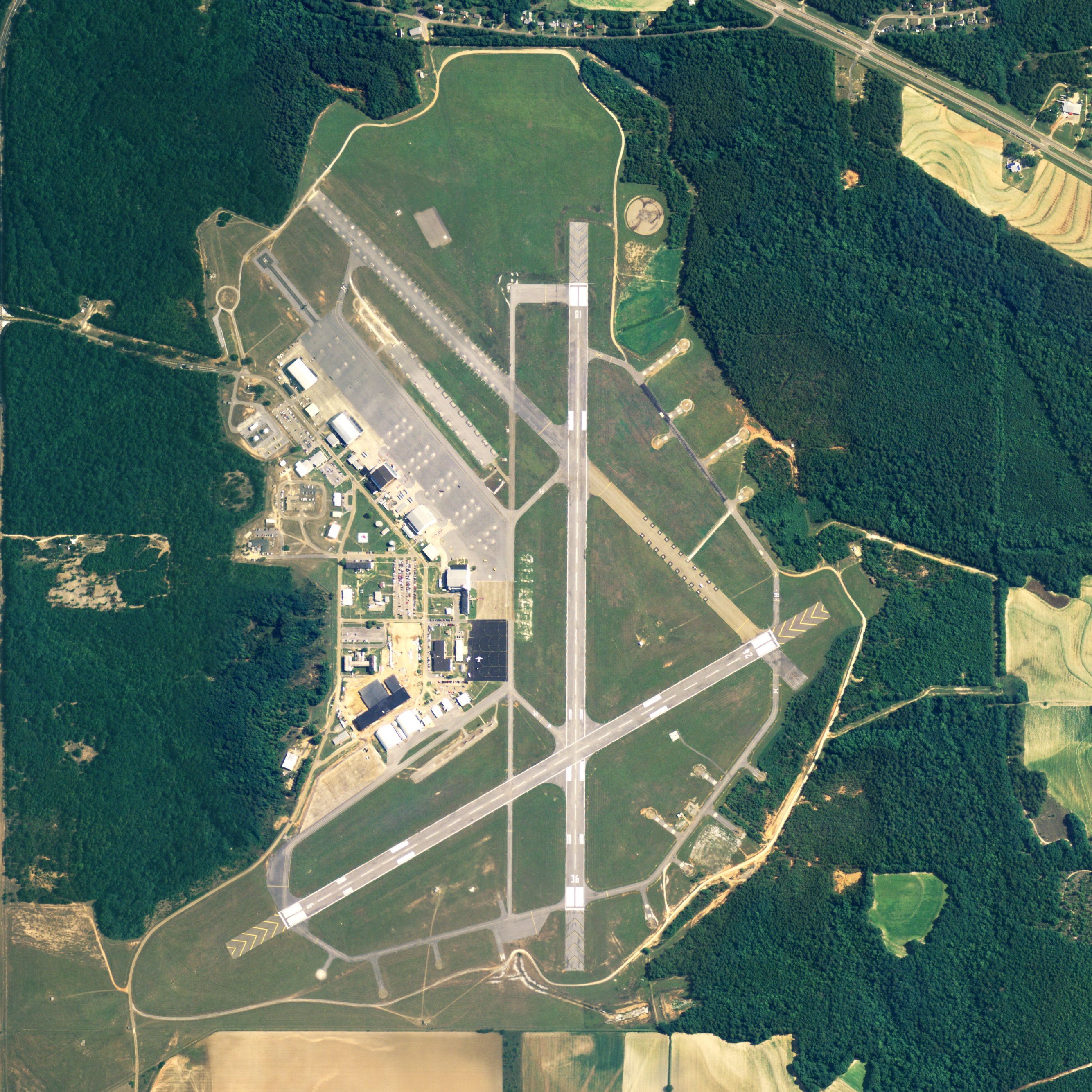
| Description | Aerial image of Cairns Army Airfield , part of Fort Rucker in Dale County, Alabama, United States |
| Date | |
| Source | National Agriculture Imagery Program (NAIP) Orthoimagery for Zone 16 Alabama State Quarter Quadrangle DALEVILLE, SE and I.D. # n_3108543_se_16_1_20060630.tif |
| Author | United States Department of Agriculture (USDA), Farm Services Agency |
|
Permission
( Reusing this file ) |
Public domain |
| Other versions |

|
Licensing
|
|
This image or file is a work of a
United States Department of Agriculture
employee, taken or made as part of that person's official duties. As a
work
of the
U.S. federal government
, the image is in the
public domain
.
|

|