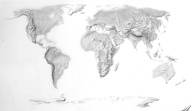
CIA_Hand_Rendered_Terrain_Map_(30253172314).jpg

Size of this preview:
800 × 464 pixels
.
Other resolutions:
320 × 185 pixels
|
640 × 371 pixels
|
1,024 × 594 pixels
|
1,280 × 742 pixels
|
2,952 × 1,711 pixels
.
Summary
| Description | A CIA hand-rendered terrain map |
| Date | |
| Source | CIA Hand Rendered Terrain Map |
| Author | Central Intelligence Agency from Washington, D.C. |
Licensing
|
|
This image is a work of a
Central Intelligence Agency
employee, taken or made as part of that person's official duties. As a Work of the United States Government, this image or media is in the
public domain
in the United States.
|

|
|
|
This image was originally posted to Flickr by The Central Intelligence Agency at https://flickr.com/photos/59094030@N08/30253172314 . It was reviewed on 19 December 2016 by FlickreviewR and was confirmed to be licensed under the terms of the United States Government Work. |