C77150s1_Ant.Map_Alexandra_Mountains.jpg
Size of this preview:
654 × 600 pixels
.
Other resolutions:
262 × 240 pixels
|
523 × 480 pixels
|
837 × 768 pixels
|
1,116 × 1,024 pixels
|
2,233 × 2,048 pixels
|
4,088 × 3,750 pixels
.
| Description |
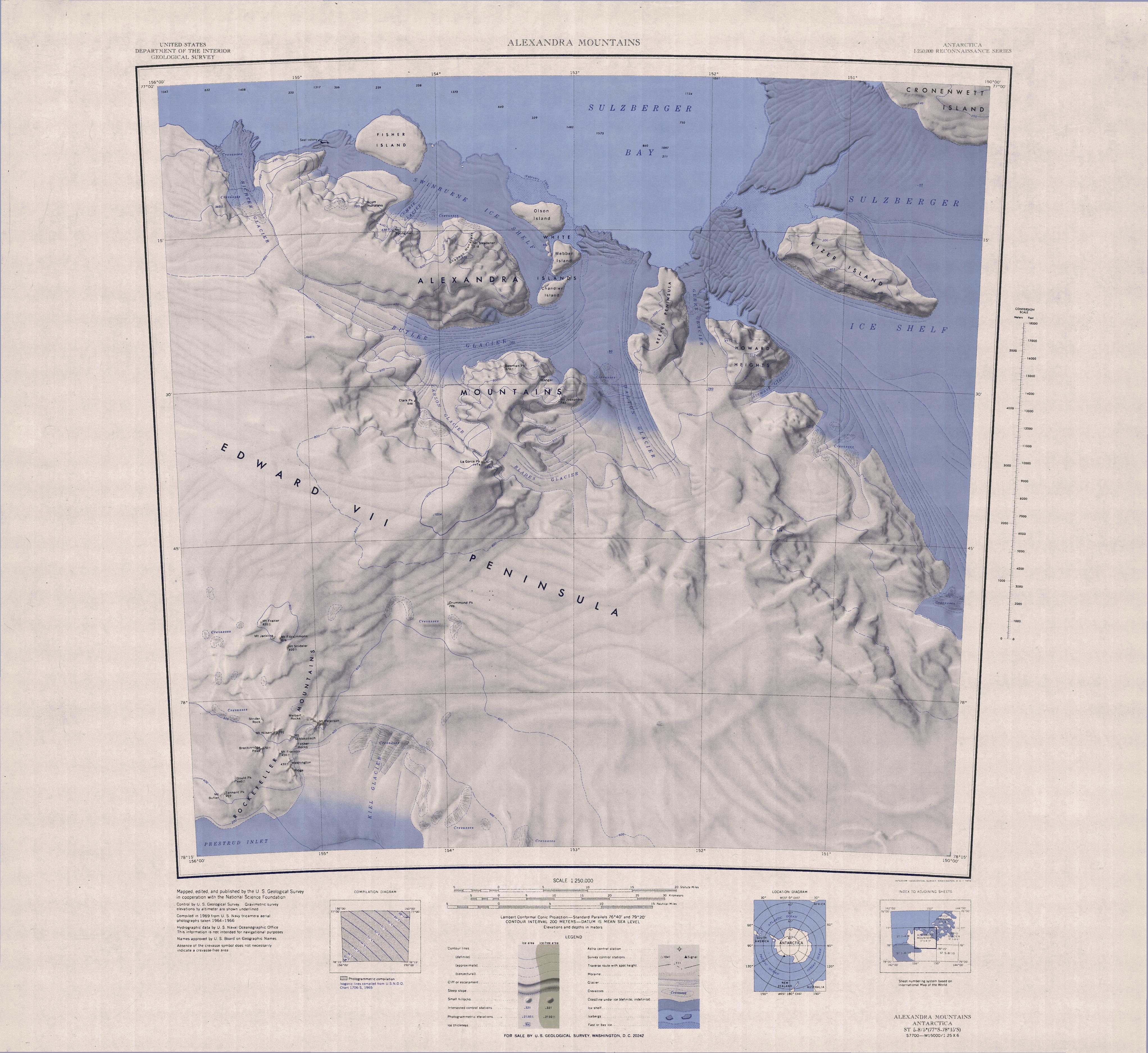
English:
Map of Antarctica by the United States Antarctic Resource Center of the US Geological Society.
|
| Source | USGS |
| Author | USGS |
|
|
This image is in the
public domain
in the United States because it only contains materials that originally came from the
United States Geological Survey
, an agency of the
United States Department of the Interior
. For more information, see
the official USGS copyright policy
.
|
|