Building_Site,_Woodstock_Road_-_geograph.org.uk_-_5487374.jpg

Size of this preview:
800 × 534 pixels
.
Other resolutions:
320 × 213 pixels
|
640 × 427 pixels
|
1,024 × 683 pixels
|
1,280 × 854 pixels
|
1,600 × 1,067 pixels
.
Summary
| Description |
English:
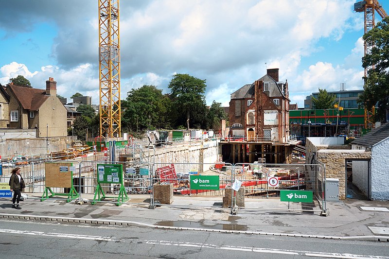
Building Site, Woodstock Road, Oxford
|
||
| Date | |||
| Source | geograph.org.uk | ||
| Author | Des Blenkinsopp | ||
|
Permission
( Reusing this file ) |
This file is licensed under the
Creative Commons
Attribution-Share Alike 2.0 Generic
license.
Attribution:
Des Blenkinsopp
|
||
|
Attribution
( required by the license ) |
Des Blenkinsopp / Building Site, Woodstock Road / | ||

| Camera location |
|
View this and other nearby images on: OpenStreetMap |
|
|---|
_region:GB-GBN_heading:67.00&language=en)
| Object location |
|
View this and other nearby images on: OpenStreetMap |
|
|---|
_region:GB-GBN_heading:67.00&language=en)