Bridgeport_covered_bridge_Nevada_County_CA.jpg
Size of this preview:
394 × 599 pixels
.
Other resolutions:
158 × 240 pixels
|
316 × 480 pixels
|
987 × 1,500 pixels
.
| Description |
English:
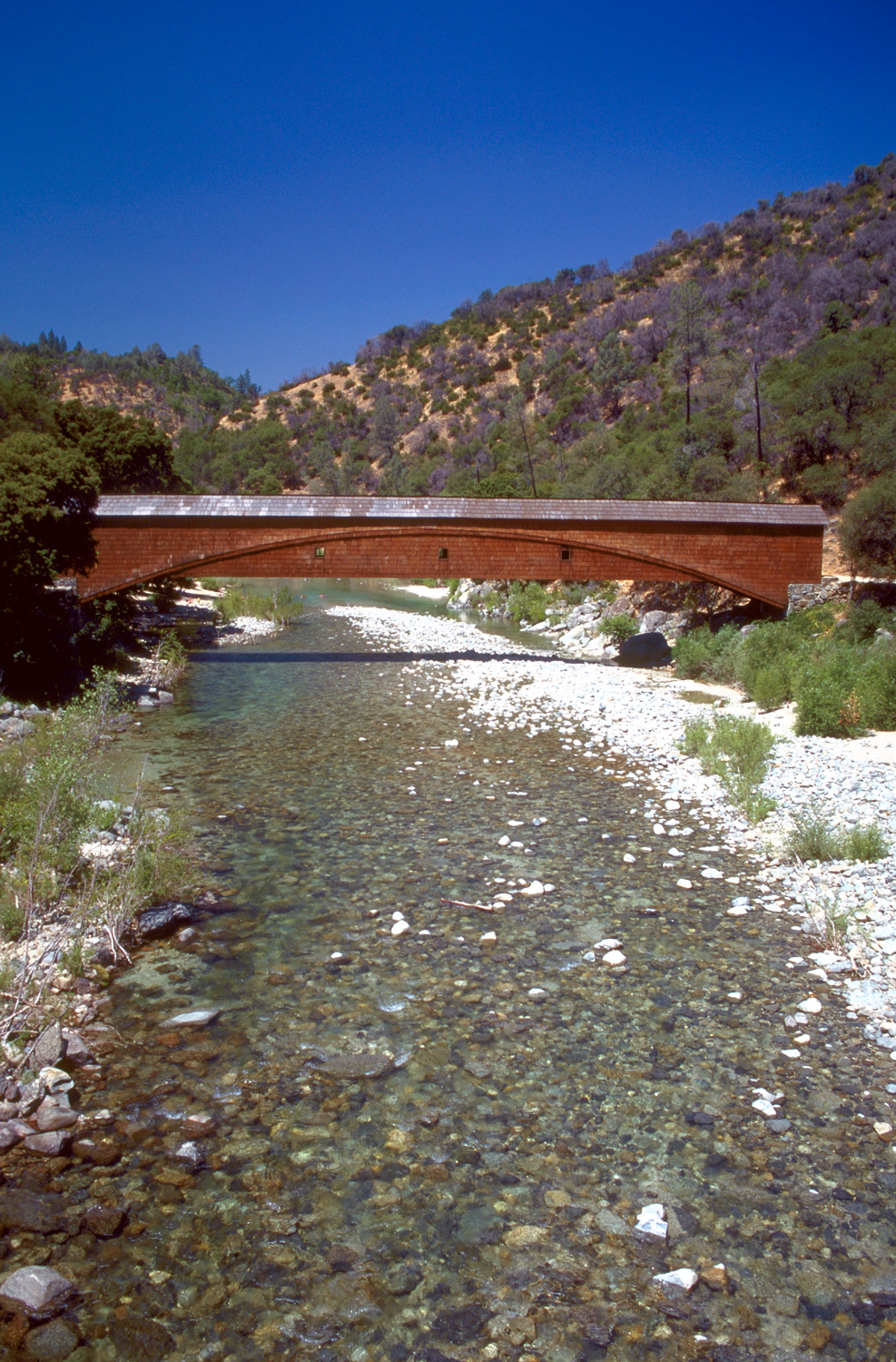
The
Bridgeport Covered Bridge
on the South Fork Yuba River in
South Yuba River State Park
in Nevada County, California, USA. The bridge here was originally constructed in 1862 and was part of the Virginia Turnpike Company Toll Road that served the northern mines and traffic to and from Virginia City and the Comstock Lode in Nevada. The bridge is 230 feet (70 m) long.
|
|||
| Date | Taken in 1999 | |||
| Source |
U.S. Army Corps of Engineers Digital Visual Library
Image page Image description page Digital Visual Library home page |
|||
| Author | Michael Nevins, U.S. Army Corps of Engineers | |||
|
Permission
( Reusing this file ) |
|
| Camera location |
|
View this and other nearby images on: OpenStreetMap |
|
|---|