Bowden,_Scottish_Borders.jpg
No higher resolution available.
Summary
| Description |
English:
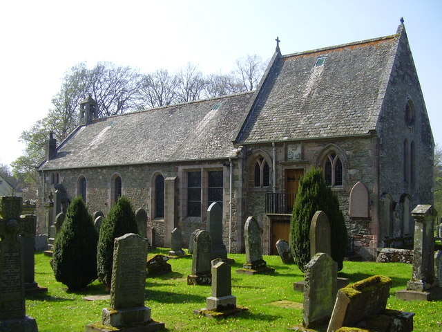
The kirk dates from mediaevel times and was much extended and restored in the 17th century
|
| Date | |
| Source | Own work |
| Author | Jimmydenham |
| Other versions |
| Camera location |
|
View this and other nearby images on: OpenStreetMap |
|
|---|
_heading:292.00&language=en)
| Object location |
|
View this and other nearby images on: OpenStreetMap |
|
|---|
_heading:292.00&language=en)
Licensing
|
|
I, the copyright holder of this work, release this work into the
public domain
. This applies worldwide.
In some countries this may not be legally possible; if so: I grant anyone the right to use this work for any purpose , without any conditions, unless such conditions are required by law. |