Boundary_Stone_(District_of_Columbia)_SW_5.jpg

Size of this preview:
600 × 600 pixels
.
Other resolutions:
240 × 240 pixels
|
480 × 480 pixels
|
768 × 768 pixels
|
1,024 × 1,024 pixels
.
|
|
This is an image of a place or building that is listed on the
National Register of Historic Places
in the
United States of America
. Its reference number is
91000010
.
|
Summary
| Description |
English:
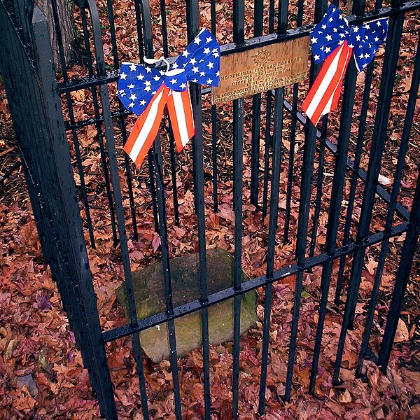
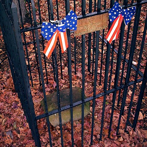
Boundary stone of the District of Columbia SW 5 - that is it is located 5 miles northwest of the southernmost DC boundary stone.
|
| Date | |
| Source | https://www.flickr.com/photos/zhurnaly/81112829/in/set-1352644/ |
| Author | zhurnaly (Mark Zimmermann) |
| Object location |
|
View this and other nearby images on: OpenStreetMap |
|
|---|
_SW_5.jpg¶ms=038.841944_N_-077.106111_E_globe:Earth_class:object_region:US_type:landmark_scale:1500_&language=en)
Licensing
|
|
This image was originally posted to Flickr by zhurnaly at https://www.flickr.com/photos/27469825@N00/81112829 . It was reviewed on 3 August 2011 by FlickreviewR and was confirmed to be licensed under the terms of the cc-by-2.0. |
This file is licensed under the
Creative Commons
Attribution 2.0 Generic
license.
-
You are free:
- to share – to copy, distribute and transmit the work
- to remix – to adapt the work
-
Under the following conditions:
- attribution – You must give appropriate credit, provide a link to the license, and indicate if changes were made. You may do so in any reasonable manner, but not in any way that suggests the licensor endorses you or your use.