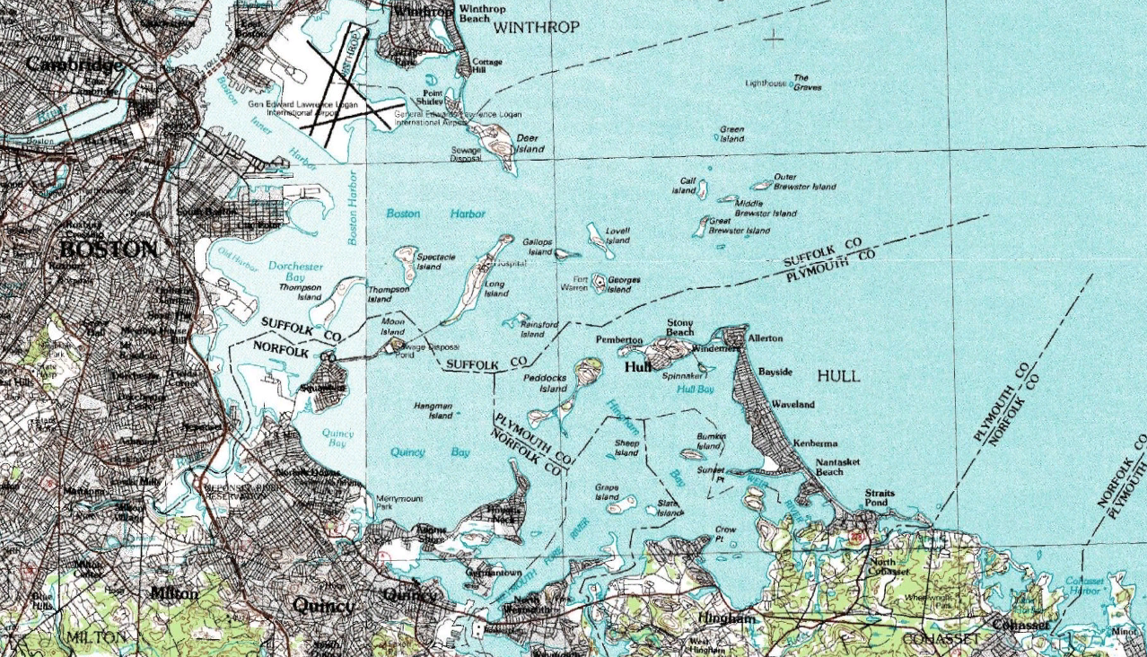
Bostonharbourtopomap.png
Size of this preview:
800 × 458 pixels
.
Other resolutions:
320 × 183 pixels
|
640 × 367 pixels
|
1,278 × 732 pixels
.
Summary
| Description |
English:
Topographical map of Boston Harbour. Captured from NASA World Wind, map by USGS.
|
| Source | USGS |
| Author | USGS |
Licensing
|
|
This image is in the
public domain
in the United States because it only contains materials that originally came from the
United States Geological Survey
, an agency of the
United States Department of the Interior
. For more information, see
the official USGS copyright policy
.
|
|
Original upload log
The original description page was
here
. All following user names refer to en.wikipedia.
| Date/Time | Dimensions | User | Comment |
|---|---|---|---|
| 2007-09-02 06:05 | 1278×732× (2295617 bytes) | Airconswitch | Topographical map of Boston Harbour. Captured from NASA World Wind, map by USGS. |