Blue_Hill_Bus_Lines_24_at_Mattapan_Terminal_in_1967.jpg
Size of this preview:
800 × 511 pixels
.
Other resolutions:
320 × 204 pixels
|
640 × 409 pixels
|
1,024 × 654 pixels
|
1,280 × 818 pixels
|
1,800 × 1,150 pixels
.
Summary
| Description |
English:
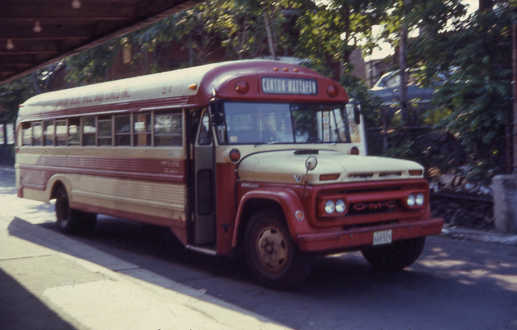
A Blue Hills Bus Lines vehicle operating the Canton-Mattapan route at Mattapan in 1967. This route would later become MBTA route 716.
|
| Date | |
| Source | Flickr : 19670628 08 Blue Hill Bus Lines 24 @ Mattapan Terminal |
| Author | David Wilson |
| Camera location |
|
View this and other nearby images on: OpenStreetMap |
|
|---|
Licensing
|
|
This image, which was originally posted to Flickr , was uploaded to Commons using Flickr upload bot on 3 January 2014, 06:29 by Pi.1415926535 . On that date, it was confirmed to be licensed under the terms of the license indicated. |
This file is licensed under the
Creative Commons
Attribution 2.0 Generic
license.
-
You are free:
- to share – to copy, distribute and transmit the work
- to remix – to adapt the work
-
Under the following conditions:
- attribution – You must give appropriate credit, provide a link to the license, and indicate if changes were made. You may do so in any reasonable manner, but not in any way that suggests the licensor endorses you or your use.