BlankMapTurkeyProvinces.png
Size of this preview:
800 × 391 pixels
.
Other resolutions:
320 × 156 pixels
|
640 × 313 pixels
|
1,024 × 500 pixels
.
Summary
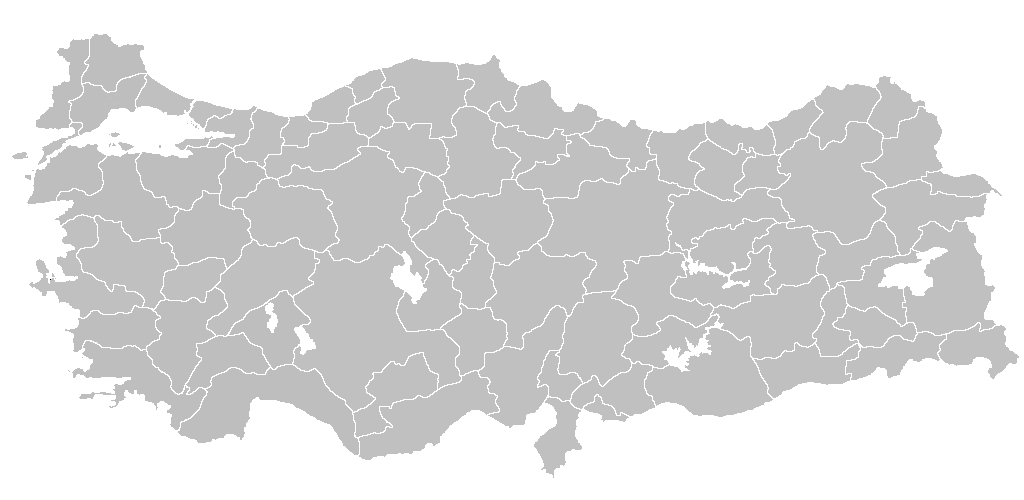
| Description | Blank map of Republic of Turkey 's provinces. The regions are carefully separated on per pixel basis and ready for filling in with a paint tool. |
| Date | |
| Source | Self drawn from scratch, based on data from official Turkish motorway network map |
| Author | Atilim Gunes Baydin |
|
Permission
( Reusing this file ) |
I grant permission for anyone to use this under the terms of GFDL license, see below |
| Other versions | Derivative works of this file: Secim2009Turkey.png and File:Ali Galip landing map.png |
Licensing
I, the copyright holder of this work, hereby publish it under the following licenses:

|
Permission is granted to copy, distribute and/or modify this document under the terms of the GNU Free Documentation License , Version 1.2 or any later version published by the Free Software Foundation ; with no Invariant Sections, no Front-Cover Texts, and no Back-Cover Texts. A copy of the license is included in the section entitled GNU Free Documentation License . |
|
|
This file is licensed under the Creative Commons Attribution-Share Alike 3.0 Unported license. | |
|
||
| This licensing tag was added to this file as part of the GFDL licensing update . |
You may select the license of your choice.

|
File:Turkey provinces blank gray.svg
is a vector version of this file. It should be used in place of this PNG file when not inferior.
File:BlankMapTurkeyProvinces.png →
File:Turkey provinces blank gray.svg
For more information, see
Help:SVG
.
|

|