Beware_of_Trains_(geograph_3674047).jpg
Size of this preview:
772 × 599 pixels
.
Other resolutions:
309 × 240 pixels
|
619 × 480 pixels
|
990 × 768 pixels
|
1,280 × 994 pixels
|
1,600 × 1,242 pixels
.
Summary
| Description |
English:
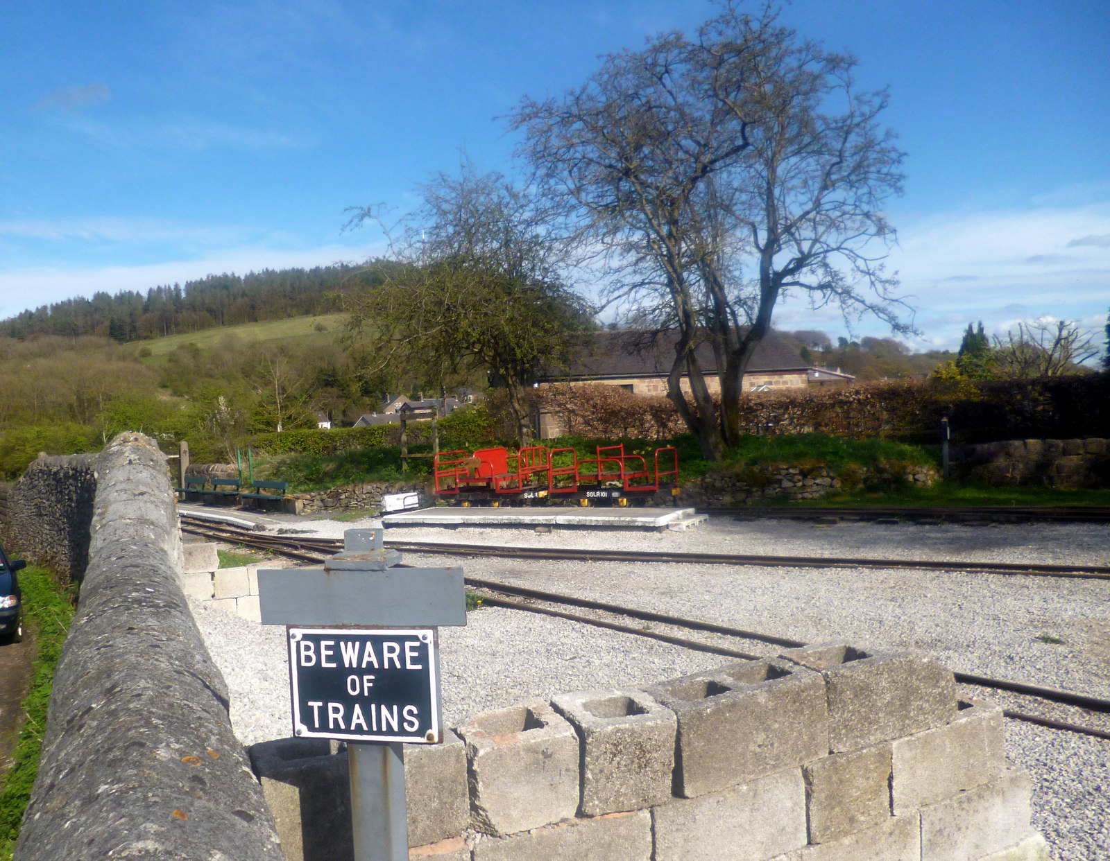
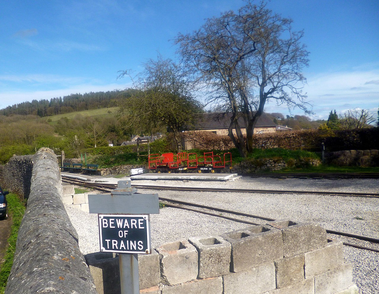
The terminus of the Steeple Grange Light Railway, link a narrow gauge railway built on the trackbed of the former High Peak Railway. This must only be a few paces away from
this scene from 1967
.
|
| Date | |
| Source | From geograph.org.uk |
| Author | Des Blenkinsopp |
|
Permission
( Reusing this file ) |
Creative Commons Attribution Share-alike license 2.0 |
|
Attribution
( required by the license ) |
Des Blenkinsopp / Beware of Trains / |
.jpg)
| Camera location |
|
View this and other nearby images on: OpenStreetMap |
|
|---|
.jpg¶ms=053.095751_N_-001.570771_E_globe:Earth_type:camera_source:geograph-osgb36(SK28845548)_heading:157.00&language=en)
| Object location |
|
View this and other nearby images on: OpenStreetMap |
|
|---|
.jpg¶ms=053.095660_N_-001.570770_E_globe:Earth_class:object_type:object_source:geograph-osgb36(SK28845547)_heading:157.00&language=en)
Licensing

|
This image was taken from the
Geograph project
collection. See
this photograph's page
on the Geograph website for the photographer's contact details. The copyright on this image is owned by
Des Blenkinsopp
and is licensed for reuse under the
Creative Commons
Attribution-ShareAlike 2.0 license.
|
This file is licensed under the
Creative Commons
Attribution-Share Alike 2.0 Generic
license.
Attribution:
Des Blenkinsopp
-
You are free:
- to share – to copy, distribute and transmit the work
- to remix – to adapt the work
-
Under the following conditions:
- attribution – You must give appropriate credit, provide a link to the license, and indicate if changes were made. You may do so in any reasonable manner, but not in any way that suggests the licensor endorses you or your use.
- share alike – If you remix, transform, or build upon the material, you must distribute your contributions under the same or compatible license as the original.