Bethesda_bus_depot,_Potomac_(20100325-DSC01295).jpg

Size of this preview:
800 × 536 pixels
.
Other resolutions:
320 × 214 pixels
|
640 × 428 pixels
|
1,024 × 685 pixels
|
1,280 × 857 pixels
|
2,560 × 1,714 pixels
|
3,872 × 2,592 pixels
.
Summary
| Description |
English:
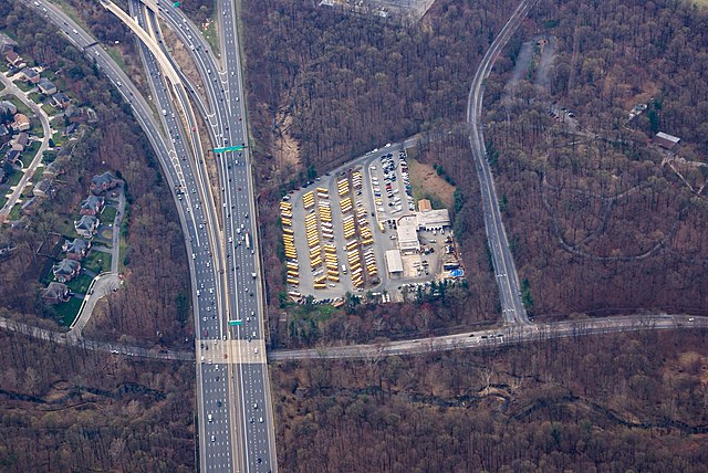
Montgomery County Public Schools' bus depot in Potomac, Maryland
|
| Date | |
| Source | Own work |
| Author | Matti Blume |
| Camera location |
|
View this and other nearby images on: OpenStreetMap |
|
|---|
.jpg¶ms=039.043235_N_-077.154349_E_globe:Earth_type:camera_heading:165.00&language=en)
| Supported by Wikimedia Deutschland: Adobe Lightroom |
|---|
|
Die Bearbeitung und Verwaltung dieser Datei wurde von
Wikimedia Deutschland
durch ein
Software-Stipendium
für
Adobe Photoshop Lightroom
unterstützt.
|
Licensing
This file is licensed under the
Creative Commons
Attribution-Share Alike 4.0 International
license.
-
You are free:
- to share – to copy, distribute and transmit the work
- to remix – to adapt the work
-
Under the following conditions:
- attribution – You must give appropriate credit, provide a link to the license, and indicate if changes were made. You may do so in any reasonable manner, but not in any way that suggests the licensor endorses you or your use.
- share alike – If you remix, transform, or build upon the material, you must distribute your contributions under the same or compatible license as the original.