Battle_of_Mosul_(2016–17).svg

Size of this PNG preview of this SVG file:
800 × 415 pixels
.
Other resolutions:
320 × 166 pixels
|
640 × 332 pixels
|
1,024 × 531 pixels
|
1,280 × 664 pixels
|
2,560 × 1,328 pixels
|
2,555 × 1,325 pixels
.
Summary
| Description |
English:
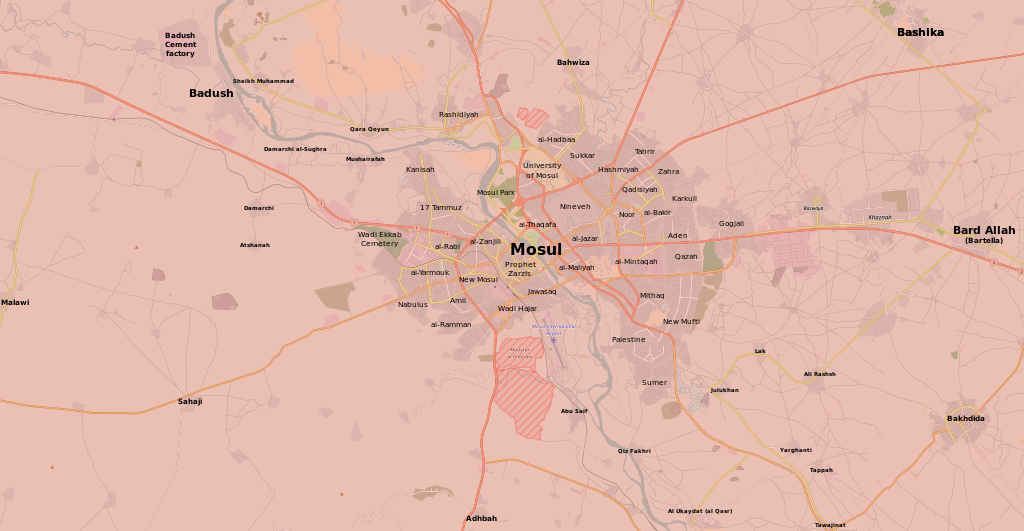
Map of the current situation in Mosul, during the
Battle of Mosul (2016–17)
.
After updating this map, please also update the date(s) at
w:Module:Iraq Syria map date
, used to denote the date in articles.
Controlled by the
Iraqi Security Forces
Controlled by the
Peshmerga (Kurdish Forces)
Controlled by the
Islamic State of Iraq and the Levant
The disputed
frontline
between the forces
|
| Date | |
| Source | Own work |
| Author | Kami888 |
Licensing
|
|
This work contains information from
OpenStreetMap
, which is made available under the
Open Database License (ODbL)
.
The ODbL does not require any particular license for maps produced from ODbL data. Prior to 1 August 2020, map tiles produced by the OpenStreetMap Foundation were licensed under the CC-BY-SA-2.0 license . Maps produced by other people may be subject to other licences. |
I, the copyright holder of this work, hereby publish it under the following license:
This file is licensed under the
Creative Commons
Attribution-Share Alike 4.0 International
license.
-
You are free:
- to share – to copy, distribute and transmit the work
- to remix – to adapt the work
-
Under the following conditions:
- attribution – You must give appropriate credit, provide a link to the license, and indicate if changes were made. You may do so in any reasonable manner, but not in any way that suggests the licensor endorses you or your use.
- share alike – If you remix, transform, or build upon the material, you must distribute your contributions under the same or compatible license as the original.