Australia_Victoria_Moorabool_Shire_location_map.svg

Size of this PNG preview of this SVG file:
533 × 379 pixels
.
Other resolutions:
320 × 228 pixels
|
640 × 455 pixels
|
1,024 × 728 pixels
|
1,280 × 910 pixels
|
2,560 × 1,820 pixels
.
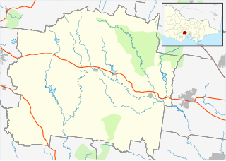
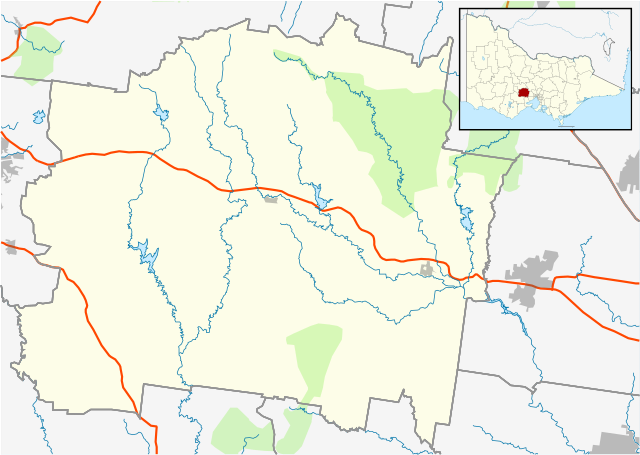
| Description |
English:
Blank map of
w:Moorabool Shire
, Victoria, Australia, with the following information shown:
Geographic limits:
|
||
| Source | Own work + VicMap Lite | ||
| Author | Cassowary |
