Attica_Indiana_from_the_west.png
Size of this preview:
800 × 400 pixels
.
Other resolutions:
320 × 160 pixels
|
640 × 320 pixels
|
1,024 × 511 pixels
|
1,600 × 799 pixels
.
Summary
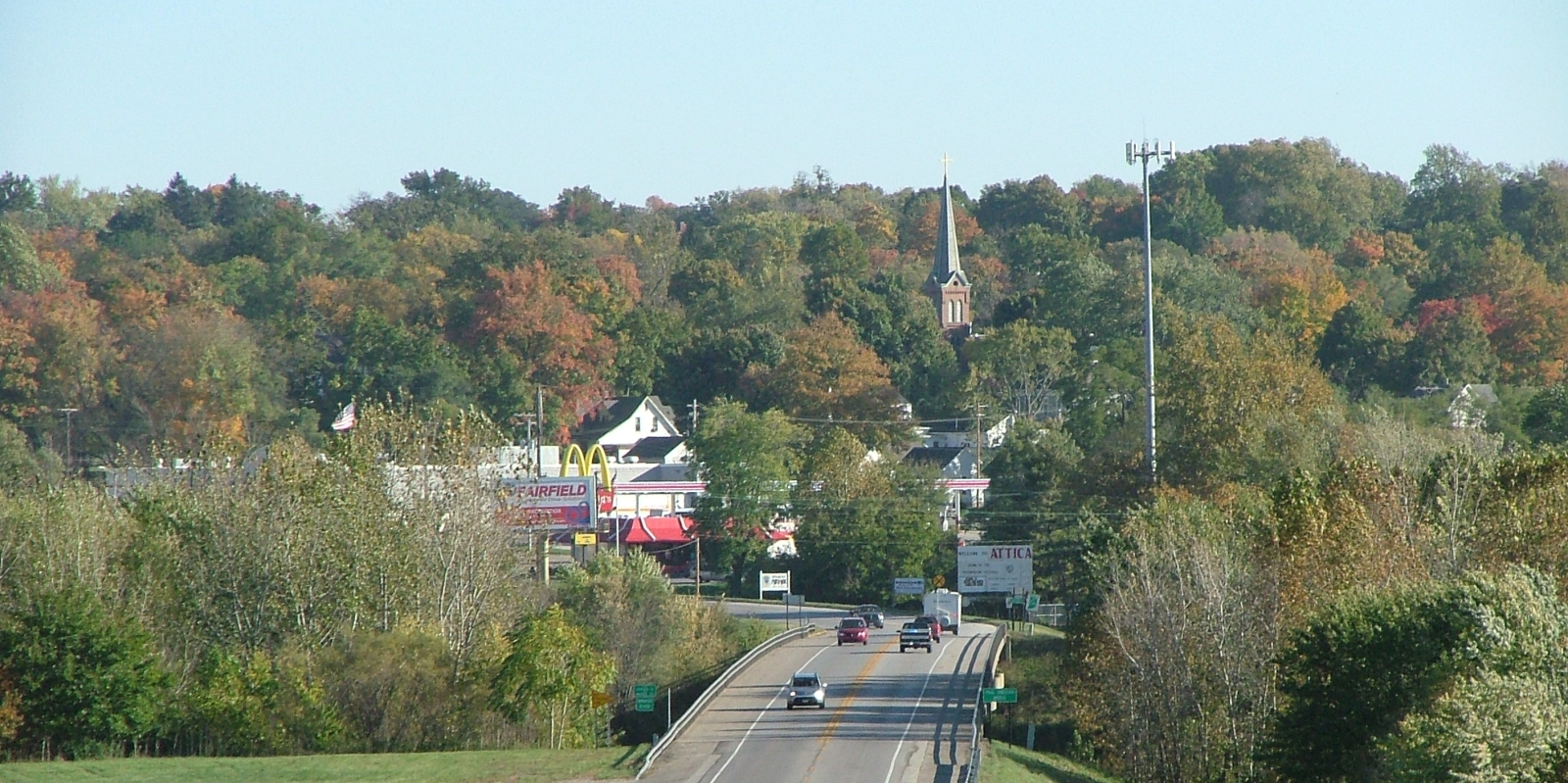
| Description | A view of Attica, Indiana, looking east from Warren County across the Wabash River along the Paul Dresser Bridge. |
| Date | Taken on 21 October 2007 |
| Source | Self-photographed |
| Author | Omnedon |
| Camera location |
|
View this and other nearby images on: OpenStreetMap |
|
|---|
Licensing
|
|
I, the copyright holder of this work, release this work into the
public domain
. This applies worldwide.
In some countries this may not be legally possible; if so: I grant anyone the right to use this work for any purpose , without any conditions, unless such conditions are required by law. |