ArrOudenaardeLocatie.png
No higher resolution available.

|
File:Arrondissement Oudenaarde Belgium Map.svg
is a vector version of this file. It should be used in place of this PNG file when not inferior.
File:ArrOudenaardeLocatie.png →
File:Arrondissement Oudenaarde Belgium Map.svg
For more information, see
Help:SVG
.
|

|
Summary
| Description |
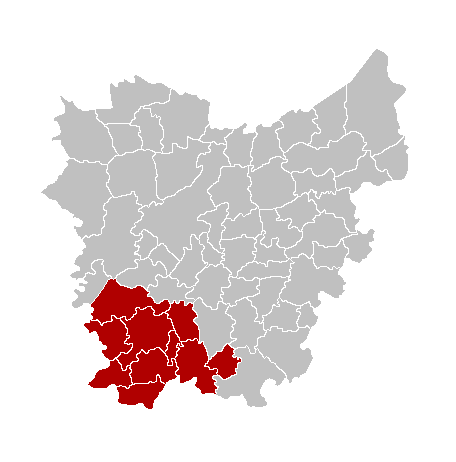
English:
Map of the province East-Flanders, showing Oudenaarde arrondissement in red.
Français :
Carte indiquant la localisation de l'arrondissement de Oudenaarde (en rouge) dans la province de Flandre orientale.
Nederlands:
Kaart van de provincie Oost-Vlaanderen met het arrondissement Oudenaarde in het in het rood.
|
| Source | Own work |
| Author | Westermarck |
from nl:Afbeelding:ArrOudenaardeLocatie.png
Licensing

|
Permission is granted to copy, distribute and/or modify this document under the terms of the GNU Free Documentation License , Version 1.2 or any later version published by the Free Software Foundation ; with no Invariant Sections, no Front-Cover Texts, and no Back-Cover Texts. A copy of the license is included in the section entitled GNU Free Documentation License . |
|
|
This file is licensed under the Creative Commons Attribution-Share Alike 3.0 Unported license. | |
|
||
| This licensing tag was added to this file as part of the GFDL licensing update . |