Arley_Hall-geograph-4444710-by-Jeff-Buck.jpg

Size of this preview:
800 × 420 pixels
.
Other resolutions:
320 × 168 pixels
|
640 × 336 pixels
|
1,024 × 537 pixels
|
1,280 × 671 pixels
|
2,560 × 1,343 pixels
|
4,884 × 2,562 pixels
.
Summary
| Description |
English:
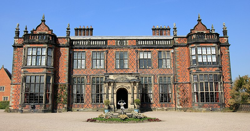
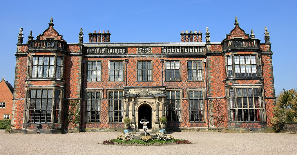
Arley Hall. The present hall was built for Rowland Egerton-Warburton between 1832 and 1845 and replaced an earlier house. The gardens were created in the 1830s, and were developed during the 20th century.
|
| Date | |
| Source | https://www.geograph.org.uk/photo/4444710 |
| Author | Jeff Buck |
|
Attribution
( required by the license ) |
Jeff Buck / Arley Hall / |
| Camera location |
|
View this and other nearby images on: OpenStreetMap |
|
|---|
_heading:0.00&language=en)
| Object location |
|
View this and other nearby images on: OpenStreetMap |
|
|---|
_heading:0.00&language=en)
Licensing

|
This image was taken from the
Geograph project
collection. See
this photograph's page
on the Geograph website for the photographer's contact details. The copyright on this image is owned by
Jeff Buck
and is licensed for reuse under the
Creative Commons
Attribution-ShareAlike 2.0 license.
|
This file is licensed under the
Creative Commons
Attribution-Share Alike 2.0 Generic
license.
Attribution:
Jeff Buck
-
You are free:
- to share – to copy, distribute and transmit the work
- to remix – to adapt the work
-
Under the following conditions:
- attribution – You must give appropriate credit, provide a link to the license, and indicate if changes were made. You may do so in any reasonable manner, but not in any way that suggests the licensor endorses you or your use.
- share alike – If you remix, transform, or build upon the material, you must distribute your contributions under the same or compatible license as the original.