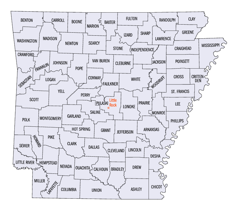
Arkansas_counties_map.png
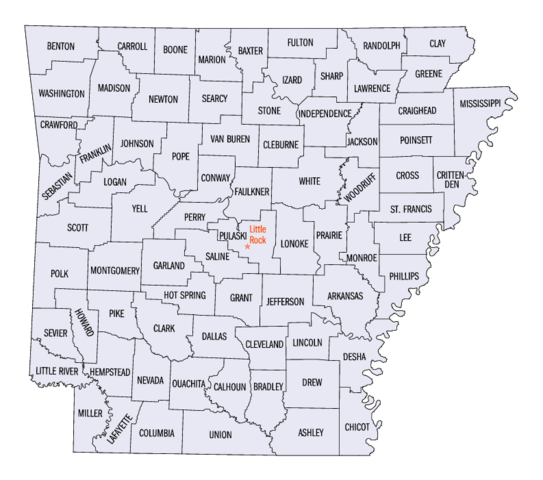
Size of this preview:
678 × 599 pixels
.
Other resolutions:
272 × 240 pixels
|
543 × 480 pixels
|
793 × 701 pixels
.
Summary
| Description | |
| Source | US gov |
| Author | United States Census Bureau |
Licensing
|
|
This image or file is a work of a
United States Census Bureau
employee, taken or made as part of that person's official duties. As a
work
of the
U.S. federal government
, the image is in the
public domain
.
|

|
Original upload log
The original description page was
here
. All following user names refer to en.wikipedia.
- 2005-06-24 22:39 Jengod 793×701× (110129 bytes) [[Category:Arkansas maps]] {{PD-USGov-DOC-Census}}