Argentina_Entre_Ríos_location_map.svg

Size of this PNG preview of this SVG file:
417 × 600 pixels
.
Other resolutions:
167 × 240 pixels
|
334 × 480 pixels
|
534 × 768 pixels
|
712 × 1,024 pixels
|
1,423 × 2,048 pixels
|
570 × 820 pixels
.
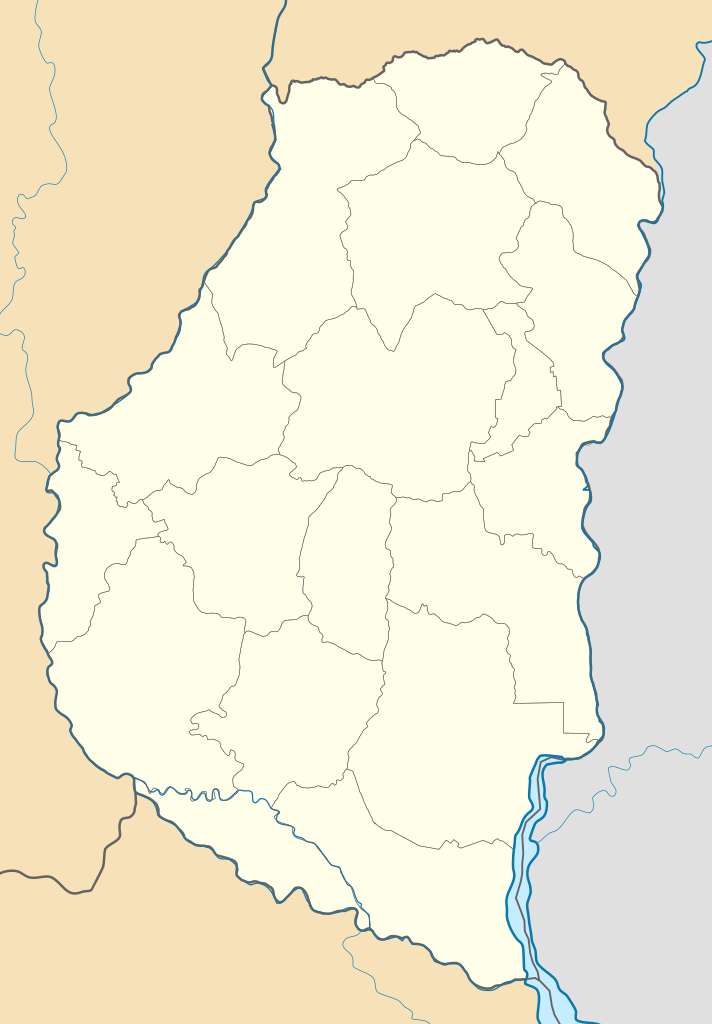
Summary
| Description |
Deutsch:
Positionskarte von Entre Ríos (
Argentinien
)
English:
Location map of Entre Ríos province (
Argentina
)
Español:
Mapa de localización de la Provincia de Entre Ríos.
Equirectangular projection, N/S stretching 115 %. Geographic limits of the map:
|
| Date | (UTC) |
| Source |
This file was derived from: |
| Author |
|
| Other versions |
|

Licensing
This file is licensed under the
Creative Commons
Attribution-Share Alike 3.0 Unported
license.
-
You are free:
- to share – to copy, distribute and transmit the work
- to remix – to adapt the work
-
Under the following conditions:
- attribution – You must give appropriate credit, provide a link to the license, and indicate if changes were made. You may do so in any reasonable manner, but not in any way that suggests the licensor endorses you or your use.
- share alike – If you remix, transform, or build upon the material, you must distribute your contributions under the same or compatible license as the original.
Original upload log
This image is a derivative work of the following images:
- File:Argentina_location_map.svg licensed with Cc-by-sa-3.0, GFDL
- File:Map_of_Entre_Rios_Province.svg licensed with Cc-by-sa-3.0,2.5,2.0,1.0, GFDL
Uploaded with derivativeFX