Archives_nationales,_Paris_-_OSM_2020.svg

Size of this PNG preview of this SVG file:
512 × 354 pixels
.
Other resolutions:
320 × 221 pixels
|
640 × 443 pixels
|
1,024 × 708 pixels
|
1,280 × 885 pixels
|
2,560 × 1,770 pixels
.
Summary
| Title |
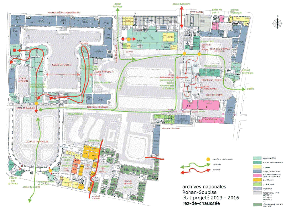
Archives nationales, Paris
|
||||
| Description |
English:
Map of the
Archives nationales
, Paris, France.
|
||||
| Date | |||||
| Source |
|
||||
| Creator | |||||
| Geotemporal data | |||||
| Date depicted | |||||
| Map type | city map | ||||
| Spatial reference system | Mercator | ||||
| Bounding box |
|
||||
| Bibliographic data | |||||
| Language | French | ||||
| Archival data | |||||
| Medium | 1268 x 877 pixel | ||||
| artwork-references |
|
||||

Licensing
I, the copyright holder of this work, hereby publish it under the following license:
This file is licensed under the
Creative Commons
Attribution-Share Alike 4.0 International
license.
-
You are free:
- to share – to copy, distribute and transmit the work
- to remix – to adapt the work
-
Under the following conditions:
- attribution – You must give appropriate credit, provide a link to the license, and indicate if changes were made. You may do so in any reasonable manner, but not in any way that suggests the licensor endorses you or your use.
- share alike – If you remix, transform, or build upon the material, you must distribute your contributions under the same or compatible license as the original.