An_Khe_airfield_1965.jpg
Size of this preview:
760 × 600 pixels
.
Other resolutions:
304 × 240 pixels
|
608 × 480 pixels
|
1,000 × 789 pixels
.
Summary
| Description |
English:
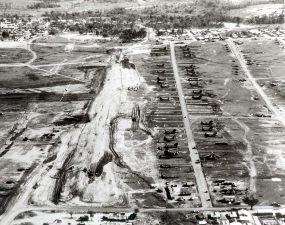
Aerial view of An Khe airfield under construction, 1965.
|
| Date | |
| Source | http://www.history.army.mil/books/vietnam/Engineers/ch8.htm#p111 |
| Author | U.S. Army |
| Camera location |
|
View this and other nearby images on: OpenStreetMap |
|
|---|
Licensing
|
|
This file is a work of a
U.S. Army
soldier or employee, taken or made as part of that person's official duties. As a
work
of the
U.S. federal government
, it is in the
public domain
in the United States.
|

|