Aliakmon_locator_map.png
No higher resolution available.
Summary
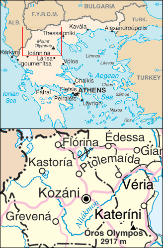
Procedencia: Mapa con la localización del río Haliacmón
Licensing
|
|
This image is in the
public domain
because it contains materials that originally came from the United States
Central Intelligence Agency
's
World Factbook
.
|

|
|
|
This image is a map derived from a
United Nations
map.
Unless stated otherwise, UN maps are to be considered in the public domain. This applies worldwide.
UN maps are, in principle, open source material and you can use them in your work or for making your own map. UN requests however that you delete the UN name, logo and reference number upon any modification to the map. Content of your map will be your responsibility. You can state in your publication, if you wish, something like: based on UN map … (map name, map number, revision number and date). See: Geospatial Information Section . And: Geospatial, location data for a better world . |

|