Adair_County_MO_Courthouse_20141022_A.jpg

Size of this preview:
800 × 497 pixels
.
Other resolutions:
320 × 199 pixels
|
640 × 398 pixels
|
1,024 × 636 pixels
|
1,280 × 795 pixels
|
2,560 × 1,590 pixels
|
3,492 × 2,169 pixels
.
Summary
| Description |
English:
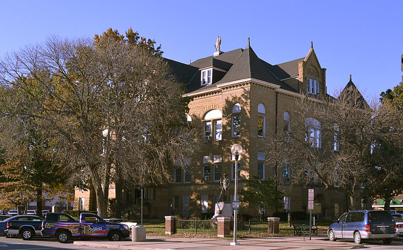
Adair County Missouri Courthouse
|
| Date | |
| Source | Own work |
| Author | Kbh3rd |
| Camera location |
|
View this and other nearby images on: OpenStreetMap |
|
|---|
|
|
This is an image of a place or building that is listed on the
National Register of Historic Places
in the
United States of America
. Its reference number is
78001636
.
|
This
photograph
was taken with a
Nikon D3100
Licensing
I, the copyright holder of this work, hereby publish it under the following license:
This file is licensed under the
Creative Commons
Attribution 4.0 International
license.
-
You are free:
- to share – to copy, distribute and transmit the work
- to remix – to adapt the work
-
Under the following conditions:
- attribution – You must give appropriate credit, provide a link to the license, and indicate if changes were made. You may do so in any reasonable manner, but not in any way that suggests the licensor endorses you or your use.