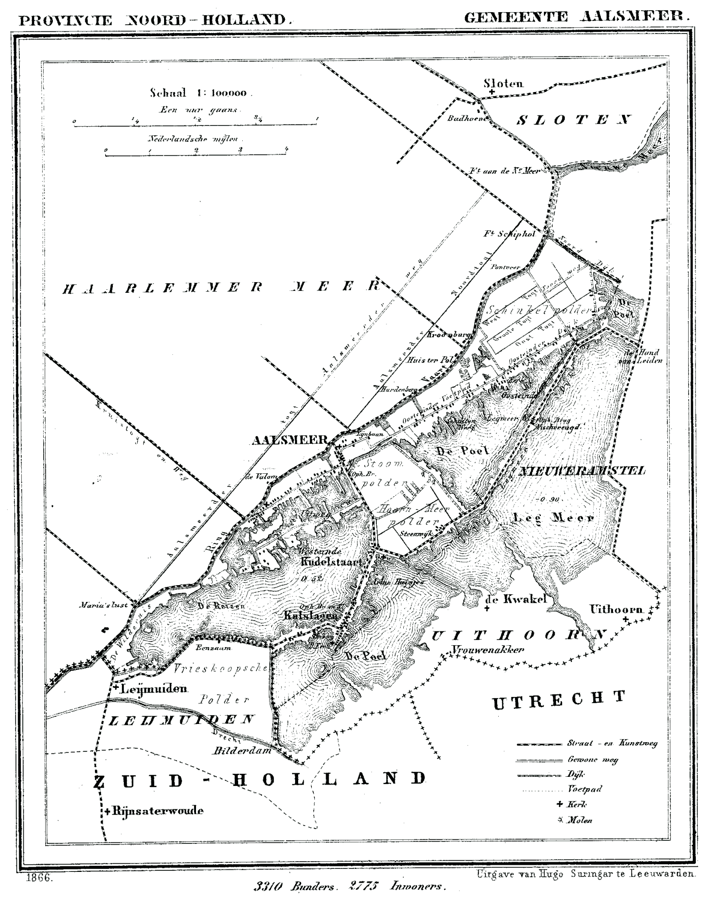
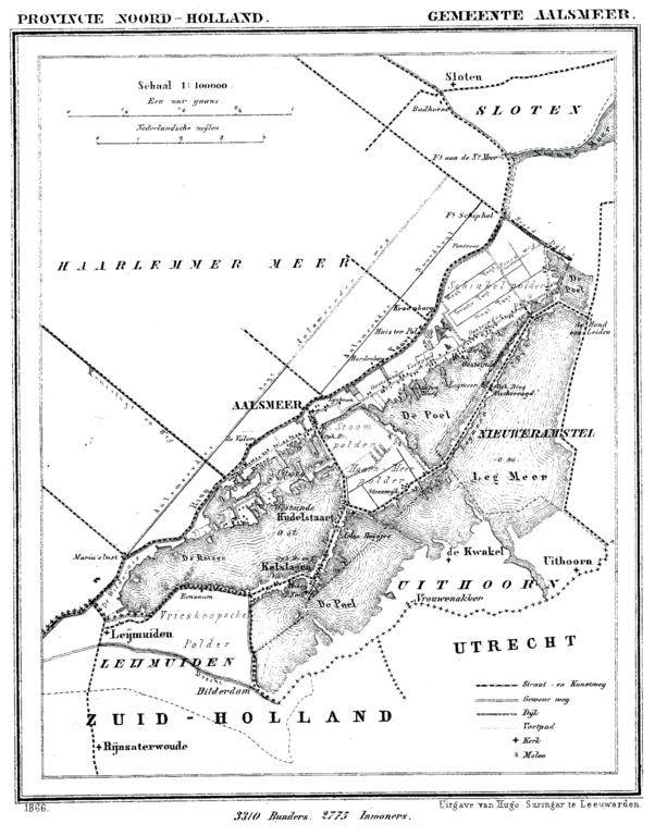
Aalsmeer_1866.png
Size of this preview:
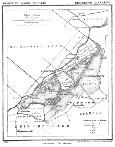
470 × 600 pixels
.
Other resolutions:
188 × 240 pixels
|
376 × 480 pixels
|
602 × 768 pixels
|
803 × 1,024 pixels
|
1,400 × 1,786 pixels
.
Summary
| Description | Historic map of Aalsmeer, North Holland, the Netherlands | |||||||||||||||||||||||
| Date | between 1865 and 1870 | |||||||||||||||||||||||
| Source | Gemeente Atlas van Nederland (Municipal Atlas of the Netherlands) | |||||||||||||||||||||||
| Author |
|
|||||||||||||||||||||||
.png)
Licensing
|
|
The author died in 1908, so this work is in the public domain in its country of origin and other countries and areas where the copyright term is the author's life plus 100 years or fewer . This work is in the public domain in the United States because it was published (or registered with the U.S. Copyright Office ) before January 1, 1929. |
| This file has been identified as being free of known restrictions under copyright law, including all related and neighboring rights. | |