2022_East_Timor_Atauro_locator_map.png

Size of this preview:
800 × 461 pixels
.
Other resolutions:
320 × 185 pixels
|
640 × 369 pixels
|
1,024 × 591 pixels
|
1,280 × 738 pixels
|
3,344 × 1,929 pixels
.
Summary
| Description |
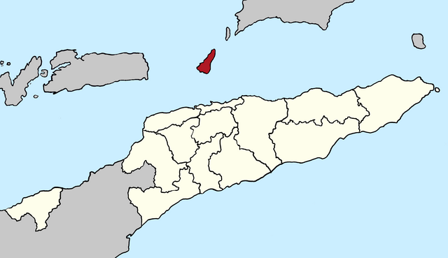
Deutsch:
Lagekarte der Gemeinde Atauro seit 2022, Osttimor
English:
Locator map of Atauro municipality since 2022, East Timor
|
| Date | |
| Source | Own work |
| Author | J. Patrick Fischer |
Licensing
I, the copyright holder of this work, hereby publish it under the following license:
This file is licensed under the
Creative Commons
Attribution-Share Alike 4.0 International
license.
-
You are free:
- to share – to copy, distribute and transmit the work
- to remix – to adapt the work
-
Under the following conditions:
- attribution – You must give appropriate credit, provide a link to the license, and indicate if changes were made. You may do so in any reasonable manner, but not in any way that suggests the licensor endorses you or your use.
- share alike – If you remix, transform, or build upon the material, you must distribute your contributions under the same or compatible license as the original.